Difference between revisions of "2009-03-28 39 -76"
From Geohashing
imported>Chuckrex (→Attendance) |
imported>Bos |
||
| Line 1: | Line 1: | ||
| + | {{meetup graticule | ||
| + | | map=<map lat="39" lon="-76" date="2009-03-28" /> | ||
| + | | lat=39 | ||
| + | | lon=-76 | ||
| + | | date=2009-03-28 | ||
| + | | graticule_name=Baltimore, Maryland | ||
| + | | graticule_link=Baltimore, Maryland | ||
| + | }} | ||
== About == | == About == | ||
| Line 18: | Line 26: | ||
[[Category:Expeditions]] | [[Category:Expeditions]] | ||
| + | [[Category:Coordinates reached]] | ||
[[Category:Expeditions with photos]] | [[Category:Expeditions with photos]] | ||
Revision as of 04:54, 29 March 2009
| Sat 28 Mar 2009 in Baltimore, Maryland: 39.2044679, -76.5471750 geohashing.info google osm bing/os kml crox |
About
These coordinates are located in the Baltimore graticule on 2009-03-28. The coordinates are just off a side road in Glen Burnie, MD.
39.204467°, -76.547175°
Attendance
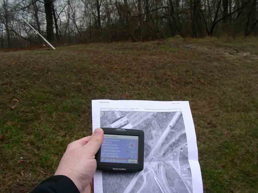
Chuckrex came up from DC West to the site. He failed to meet-up with anyone, but he did earn the first DC 4 Corners achievement.
Proof. The site is actually on a sidewalk. How easy is that?
