Difference between revisions of "2009-05-23 39 -5"
From Geohashing
imported>Relet (→Expedition: +video) |
imported>ReletBot m (Automatically appending gallery for one of relet's expeditions.) |
||
| Line 50: | Line 50: | ||
[[Category:Expeditions with photos]] | [[Category:Expeditions with photos]] | ||
[[Category:Coordinates reached]] | [[Category:Coordinates reached]] | ||
| + | |||
| + | == Gallery == | ||
| + | <gallery widths="160px" align=center> | ||
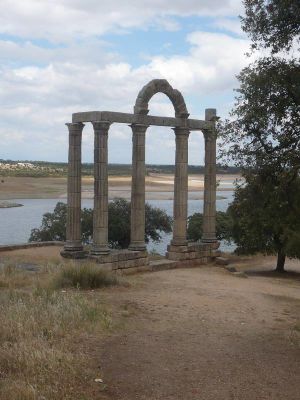
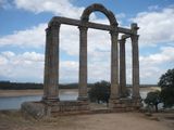
| + | Image:2009052339-5P1030835.JPG|A roman portal I found on my way | ||
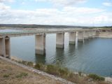
| + | Image:2009052339-5P1030836.JPG|next to this bridge | ||
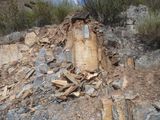
| + | Image:2009052339-5P1030837.JPG|The terrain was made of red slate | ||
| + | Image:2009052339-5P1030838.JPG|Where I left the car | ||
| + | Image:2009052339-5P1030839.JPG|uphills | ||
| + | Image:2009052339-5P1030840.JPG|downhills | ||
| + | Image:2009052339-5P1030841.JPG|down the escarpment, across the bushes | ||
| + | Image:2009052339-5P1030842.JPG|An animal track | ||
| + | Image:2009052339-5P1030844.JPG|vegetation I | ||
| + | Image:2009052339-5P1030843.JPG|vegetation II | ||
| + | Image:2009052339-5P1030848.JPG|at the hash | ||
| + | Image:2009052339-5P1030849.JPG|picture of the hash | ||
| + | Image:2009052339-5P1030877.JPG|sloped grin | ||
| + | Image:2009052339-5P1030881.JPG|up the mirador | ||
| + | Image:2009052339-5P1030882.JPG|no tresspassing | ||
| + | Image:2009052339-5P1030884.JPG|at the mountain pass | ||
| + | Image:2009052339-5P1030888.JPG|especially where the two lines crossed | ||
| + | Image:2009052339-5P1030891.JPG|I WANT THIS FOR GEOHASHING! | ||
| + | </gallery> | ||
Revision as of 14:47, 27 May 2009
| Sat 23 May 2009 in 39,-5: 39.7318719, -5.6302679 geohashing.info google osm bing/os kml crox |
Participants
- relet 20:04, 23 May 2009 (UTC)
Plans
This was the most difficult part of the expedition. I had plotted out a few different hashes, but nothing that could gain my interest. They all lacked in.. mountains. Or natural reserves, or anything like that.
By the time I decided for todays location and managed to get my motivation levels up, it was almost 1pm. But yeah, it was quite good.
Expedition
(yet to be written up)
- A roman portal I found on my way
- next to this bridge
- The terrain was made of red slate
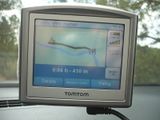
- Where I left the car
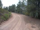
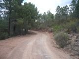
- uphills
- downhills
- down the escarpment, across the bushes (where the geohash would be)
- An animal track (animal was no higher than 1m, judging from the openings in the bushwork)
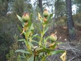
- vegetation I
- vegetation II
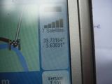
- at the hash
- picture of the hash (what you can't see is the slope)
- sloped grin
- In an attempt to one-up the art of geohash videography I took a video clip of the six minutes of downhill driving back from the geohash.
Post-expedition expedition
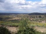
My other plan was to visit the stiff and rather remote cliffs that border the Taja river in the nearby National Park. It was spoiled by a no trespassing sign. This side of the park just isn't meant to be accessed, apparently. They were cutting fire breaks according to the sign.
- up the mirador
- no tresspassing
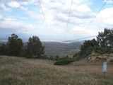
- at the mountain pass the noise of the static was amazing, and it made my head ache.
- especially where the two lines crossed
- I WANT THIS FOR GEOHASHING!
