Difference between revisions of "2010-04-12 50 11"
imported>Reinhard (→Expedition) |
imported>Reinhard (cubicle honorable mention) |
||
| Line 31: | Line 31: | ||
were arriving at the hash meadow ... [and will surely continue the expedition report] | were arriving at the hash meadow ... [and will surely continue the expedition report] | ||
| − | == | + | == Achievements == |
| − | + | {{cubicle geohash | latitude = 50 | longitude = 11 | date = 2010-04-12 | name = [[user:Reinhard|Reinhard]] | honor = true }} | |
| + | Also mentionable, but not for the 1st time: | ||
| + | {{Walk geohash|latitude = 50|longitude = 11|date = 2010-04-12|name = [[User:Reinhard|Reinhard]]|distance = 2 * 0.4 km}} | ||
== Photos == | == Photos == | ||
Revision as of 18:31, 12 April 2010
| Mon 12 Apr 2010 in 50,11: 50.9550698, 11.6124170 geohashing.info google osm bing/os kml crox |
Location
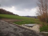
In a public meadow between Jena-Löbstedt and Jena-Zwätzen. It's just 268 m north of Reinhard's cubicle.
Participants
Plans
Since it's raining this morning, Reinhard will probably go there in the evening right after work.
Juja and Jens are planning to cycle there after work, too.
Expedition: Reinhard
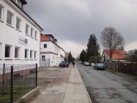
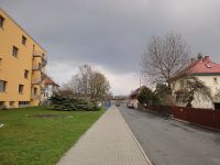
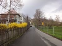
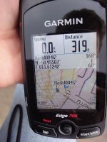
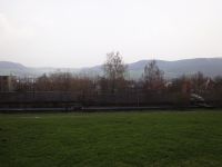
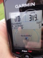
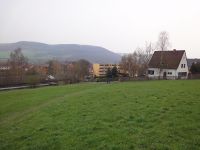
After finishing work, Reinhard decided to walk to the very close location though he had some trouble with his right foot after twisting its ankle on the weekend and though his car was conveniently standing on the company's parking lot. Since the expedition wouldn't be too surprising and extremely quick, he thought it might be a good idea to take a photo every 100 m, in contrast to other geohashers who sometimes take pictures every hour on their expeditions. He did so and got to the hash meadow after 300 m, where he was surprised to find the hashpoint in some fenced area according to his position on the GPS device and the direction and distance to the hash marker he also saw at the display. How could this happen after checking the coordinates and satellite view several times? He called Manu with his cell phone and asked her to tell him the decimals of the coordinates, in case he mistyped somehow. They were correct. While thinking about what to do now and just standing still on the meadow he saw the actual-position-indicating arrow drifting quickly over the map until it finally got very close to the hash marker. Well ... obviously GPS calculations weren't working properly before, because the device hadn't been switched on long enough and was still adjusting. Confusing though, since it completed satellite acquisition before Reinhard started his little walk. At the moment he took the picture of being 0 m from the hashpoint, someone was laughing and a bike bell was ringing –
Expedition: Juja and Jens
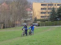
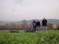
were arriving at the hash meadow ... [and will surely continue the expedition report]
Achievements
Reinhard earned the cubicle geohash honorable mention
|
Also mentionable, but not for the 1st time:
Reinhard earned the Walk geohash Achievement
|
Photos
|
