Difference between revisions of "2010-08-01 60 10"
From Geohashing
imported>Relet (→Photos) |
imported>Relet (cats) |
||
| Line 37: | Line 37: | ||
{{#vardefine:ribbonwidth|800px}} | {{#vardefine:ribbonwidth|800px}} | ||
| − | |||
| − | |||
| − | |||
[[Category:Expeditions]] | [[Category:Expeditions]] | ||
| − | |||
[[Category:Expeditions with photos]] | [[Category:Expeditions with photos]] | ||
| − | |||
| − | |||
| − | |||
[[Category:Coordinates reached]] | [[Category:Coordinates reached]] | ||
| − | |||
| − | |||
| − | |||
| − | |||
| − | |||
| − | |||
| − | |||
Revision as of 11:52, 1 August 2010
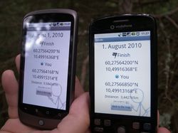
| Sun 1 Aug 2010 in 60,10: 60.2756420, 10.4991637 geohashing.info google osm bing/os kml crox |
Location
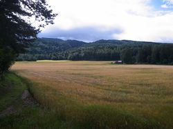
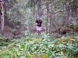
A pretty steep piece of forest near a road, near Østre Olimb, between Jevnaker and Lunner.
Participants
Plans
Expedition
Tracklog
Photos
|
