Difference between revisions of "2011-01-15 50 -118"
imported>Juventas m (→Expedition: a sign, not no sign) |
imported>Juventas m (→Plans: not up, as in up the road) |
||
| Line 12: | Line 12: | ||
== Plans == | == Plans == | ||
| − | Hopefully I can drive up Keefer Lake Road, but I expect the side road to impassable due to snow. Snowshoe 400m | + | Hopefully I can drive up Keefer Lake Road, but I expect the side road to impassable due to snow. Snowshoe a 400m ascent. |
== Expedition == | == Expedition == | ||
Revision as of 01:07, 25 January 2011
| Sat 15 Jan 2011 in 50,-118: 50.0734244, -118.4637741 geohashing.info google osm bing/os kml crox |
Location
2km off of Keefer Lake Road
Participants
Plans
Hopefully I can drive up Keefer Lake Road, but I expect the side road to impassable due to snow. Snowshoe a 400m ascent.
Expedition
I left late, and when I stopped for gas I noticed I had a flat tire. I added air, then went to the nearest tire shop for repair. An hour later I was back on the road.
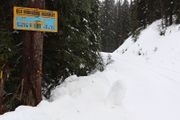
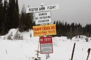
I had guessed correctly. Keefer Lake Road was plowed, but the road I needed to turn onto was untouched. There was also a "no trespassing" sign due to mining, but the snow said it wasn't active.
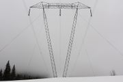
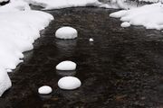
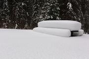
With less than an hour till dusk, I decided to forgo a failed attempt, and tromped around with my camera in-hand. Being up to my thighs in snow reminded me of my youth, but unlike my other winter expedition this year, the snow was dense and wet.
I believe I could claim every "not reached" category, but I was somewhere new, and I was having fun. I considered the day a success.
