Difference between revisions of "2011-04-28 50 11"
From Geohashing
imported>Paintedhell (Added expedition page,) |
imported>Paintedhell (Added my photos (wrong way round today).) |
||
| Line 17: | Line 17: | ||
== Photos == | == Photos == | ||
{{gallery|width=200|height=200|lines=2 | {{gallery|width=200|height=200|lines=2 | ||
| − | + | |Image:110428_50_11_01.jpg|Entering the village of Schmörschwitz (what a name!) | |
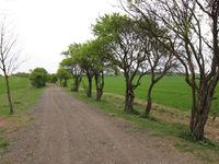
| + | |Image:110428_50_11_02.jpg|The way to the hash. | ||
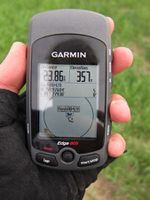
| + | |Image:110428_50_11_03.jpg|Hashpoint reached! (Juja's proof) | ||
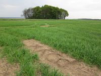
| + | |Image:110428_50_11_04.jpg|Marked the field near the point. | ||
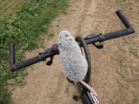
| + | |Image:110428_50_11_05.jpg|Hans trying to ride my bike. I'd say it's a little too big for him. | ||
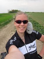
| + | |Image:110428_50_11_06.jpg|Grinning geohasher with a rat on her shoulder. | ||
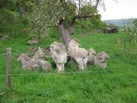
| + | |Image:110428_50_11_07.jpg|A flock of stone sheep on my way through Laasan. | ||
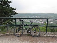
| + | |Image:110428_50_11_08.jpg|My trusty bike, enjoying the view on Jenzig. | ||
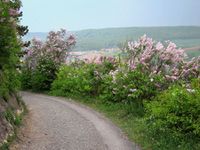
| + | |Image:110428_50_11_09.jpg|Riding home through the lilacs... lots of them. | ||
}} | }} | ||
Revision as of 19:06, 28 April 2011
| Thu 28 Apr 2011 in 50,11: 50.9760390, 11.7793011 geohashing.info google osm bing/os kml crox |
Location
Near a fieldway in the middle of nothing (near the villages of Hohendorf, Schmörschwitz and Karsdorfberg, a small distance away from Bürgel).
Participants
- Juja and Hans
Expedition (Juja)
Report will follow as soon as I had some pancakes. Man, I'm starving.
Photos
|

