Difference between revisions of "2011-06-23 50 11"
imported>Paintedhell (Added report.) |
imported>Paintedhell m |
||
| Line 26: | Line 26: | ||
|Image:110623_50_11_4.JPG|You can only ride your bike so far... | |Image:110623_50_11_4.JPG|You can only ride your bike so far... | ||
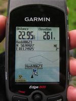
|Image:110623_50_11_5.JPG|Enough of the GPS dance, I declare the point reached! | |Image:110623_50_11_5.JPG|Enough of the GPS dance, I declare the point reached! | ||
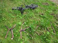
| − | |Image:110623_50_11_6.JPG|Huge mark on the spot. | + | |Image:110623_50_11_6.JPG|Huge mark on the spot. Or... near it, at least. Well, somewhere around there. |
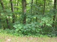
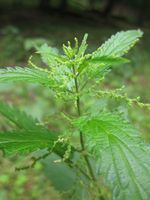
|Image:110623_50_11_7.JPG|Yeah, sure. Stinging nettles. You bastards gotta be everywhere, huh?! | |Image:110623_50_11_7.JPG|Yeah, sure. Stinging nettles. You bastards gotta be everywhere, huh?! | ||
|Image:110623_50_11_8.JPG|At last! Once again, the white mouse found a spot of mud. | |Image:110623_50_11_8.JPG|At last! Once again, the white mouse found a spot of mud. | ||
Revision as of 20:39, 23 June 2011
| Thu 23 Jun 2011 in 50,11: 50.9992710, 11.7492493 geohashing.info google osm bing/os kml crox |
Location
Near the road from Tautenburg to Wetzdorf - on the satellite picture it is not clear whether the dedicated Geohasher will need to fall down a gorge or climb a steep hill, anyway I guess the last 50 meters are not gonna be too nice.
Participants
- Juja, Frankie and Benjy Mouse
Expedition
Today's weather was capricious, to say the least, but after I survived quite some rain the day before I thought I should go anyway. It already drizzled when I started my after-work tour, but that soon stopped and even the sun came out from time to time.
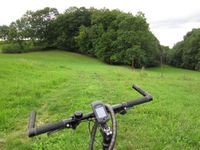
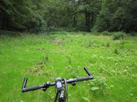
The tour itself was nothing special, I knew the way and got 50 meters near the hash. But the satellite picture dangerously looked like the hash would either be very steep to climb or very steep to slide/fall down. The latter was true, it was so steep that I had no idea how I should get down there (and worse, up again). Ok, maybe I would have done it if there hadn't been hope for an easier way, but it looked like there was a path next to the hashmeadow, so I followed the road to hopefully find the beginning of that path. On a less steep meadow I shouldered my bike and carried/pushed it to the way in the middle of the meadow, only to find that I could follow this way for less than fifty meters before it would go on in another direction. But what have I got a mountainbike for, so I cycled directly over the hashmeadow to the point.
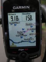
Well, the point. I got near it to 10 meters, but my GPS danced like mad down there and just standing and waiting it moved more than 20 meters. After doing the GPS dance for a while hoping to get a "0m" photo I gave up and declared the point reached (especially since the Hash Point was full of Stinging Nettles and my bare legs already started to itch like mad), marked the spot, took the usual photos and cycled back home... maybe with a little detour. (The distance to the point - as the crow flies - was about 11 km, the actual distance according to Googlemaps something about 15 km, but what does Google know? I did a tour of 50 km!)
Photos
|
Distraction Counter
- Deers: 1
- Cows: 5
- Ostriches: 17... or even more
- Kitties: 2
- Barking dogs appearing out of nothing: far too many
