Difference between revisions of "2011-08-23 50 11"
From Geohashing
imported>Paintedhell (Created page.) |
imported>Paintedhell (→Photos) |
||
| Line 22: | Line 22: | ||
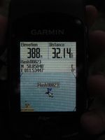
|Image:110823_50_11_1.jpg|Coordinates reached. | |Image:110823_50_11_1.jpg|Coordinates reached. | ||
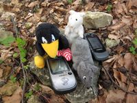
|Image:110823_50_11_2.jpg|Räbe, Frankie and Jutta found another hash! | |Image:110823_50_11_2.jpg|Räbe, Frankie and Jutta found another hash! | ||
| − | |||
|Image:110823_50_11_4.jpg|The small path leading to the Hash Point. | |Image:110823_50_11_4.jpg|The small path leading to the Hash Point. | ||
}} | }} | ||
Revision as of 09:34, 14 November 2013
| Tue 23 Aug 2011 in 50,11: 50.8504026, 11.5344730 geohashing.info google osm bing/os kml crox |
Location
In a wood between Zimmritz and Schirnewitz (Thuringia).
Participants
Expedition
Once again Juja could make Jens believe her stories of 10-km-beelines - but to be fair, she told him before that the planned trip might be a little longer than 20 kms total... but he and a Ninja still agreed to accompany her on the tour to the point after work.
Nothing very special, they cycled there at a very relaxed speed, found an adventurous hash path, then walked the last 50 meters to the point and cycled back home (total: over 50 km...).
Photos
|


