Difference between revisions of "2013-03-24 50 11"
imported>Paintedhell (Created page with "{{meetup graticule | lat=50 | lon=11 | date=2013-03-24 }} __NOTOC__ == Location == On a meadow near Jenaprießnitz, Thuringia. == Participants == * [[user:Paintedhell|Juja]...") |
imported>FippeBot m (Location) |
||
| Line 36: | Line 36: | ||
[[Category:Expeditions with photos]] | [[Category:Expeditions with photos]] | ||
[[Category:Coordinates reached]] | [[Category:Coordinates reached]] | ||
| + | {{location|DE|TH|J}} | ||
Latest revision as of 01:33, 14 August 2019
| Sun 24 Mar 2013 in 50,11: 50.9251623, 11.6613839 geohashing.info google osm bing/os kml crox |
Location
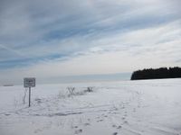
On a meadow near Jenaprießnitz, Thuringia.
Participants
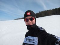
- Juja and Benjy Mouse
Expedition
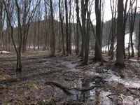
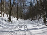
Today's location was at less than 5 kms distance to my home and Sunday is a nice day for running, so running it was - temperatures were still low but the sun was shining and in the deep forest the ugly wind had practically no power.
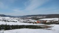
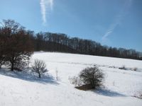
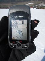
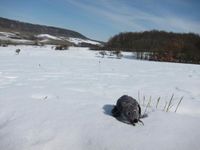
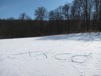
I started before lunch and although I could have taken one of my standard routes to get some hundred meters near this Geohash point, I decided against that plan: after I ran the standard route up the hill through Pennickental, which is always beautiful (with numerous photo stops just to make it less obvious how much slower than any other runner I am) I felt pretty good and was in high spirits, so I went on to the airport of Schöngleina and from there on I got adventurous: since proper Geohashes cannot be reached by using known ways, I tried to just follow a skidmark in the snow that could have been a way and roughly seemed to lead in the right direction. (Yes, I sure could have looked it up on my GPS, but wouldn't that be cheating?) Of course it ended in the middle of nowhere, but after passing some snowy wood without any way I suddenly arrived near Kleinlöbichau, which was not completely off my track at least. Some cross-country-adventures later I was back on paved roads, but I soon left them again to avoid some walkers and their dogs and headed straight for the hashpoint. Took some photos, marked it for the unlikely event of Reinhard and Manu coming later, and ran back home - yay, fun and success!
Photos
|
Achievements
Walking/Running Geohash, perfect Tron Geohash and 2 consecutive Hashes. Yay again!
