Difference between revisions of "2013-10-08 39 -8"
imported>Pastori |
imported>FippeBot m (Location) |
||
| Line 59: | Line 59: | ||
[[Category:Expeditions with photos]] | [[Category:Expeditions with photos]] | ||
[[Category:Coordinates reached]] | [[Category:Coordinates reached]] | ||
| + | {{location|PT|11}} | ||
Revision as of 06:36, 6 August 2019
| Tue 8 Oct 2013 in 39,-8: 39.3268426, -8.9427403 geohashing.info google osm bing/os kml crox |
Location
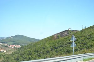
In a forested hillside in Rio Maior.
Participants
- Pastori
- The Wife
Expedition
(Pastori's European tour begins here.)
Now Pastori and The Wife had on their journey already reached Portugal. The geopoint in the village of Rio Maior was worth trying to reach. In the terribly hot weather their drive went along in a sweaty but happy mood.
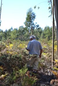
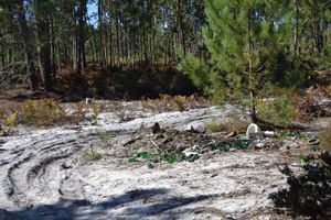
We could get to about 100 m from the point by the car. This time we also brought the smarthphone into navigation and could therefore get to about 6 meters from the point, which is thus reached. It was on a sandy hill, on which there were growing some coniferous trees, eucalyptus trees and glass bottles. There was about +30° C at the moment of reaching the point.
We thank the editor of our texts and other followers for trusting us, now we finally got our equipment to function properly and could provide some evidence in photographic form. And as the Editor is well aware, Pastori is not very comfortable with these techical gadgets.
Our tour continues still due south.
The next report here.
Additional pictures
Achievements
Pastori and The Wife earned the Land geohash achievement
|


