Difference between revisions of "2015-08-09 50 11"
From Geohashing
imported>Paintedhell (Created page with "{{meetup graticule | lat=50 | lon=11 | date=2015-08-09 }} __NOTOC__ == Location == In a forest near Beutnitz, Thuringia. == Participants == * Juja, Fr...") |
imported>FippeBot m (Location) |
||
| Line 25: | Line 25: | ||
[[Category:Expeditions with photos]] | [[Category:Expeditions with photos]] | ||
[[Category:Coordinates reached]] | [[Category:Coordinates reached]] | ||
| + | {{location|DE|TH|SHK}} | ||
Latest revision as of 04:44, 15 August 2019
| Sun 9 Aug 2015 in 50,11: 50.9569199, 11.6773131 geohashing.info google osm bing/os kml crox |
Location
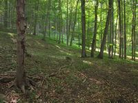
In a forest near Beutnitz, Thuringia.
Participants
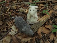
- Juja, Frankie and Benjy Mouse
Expedition
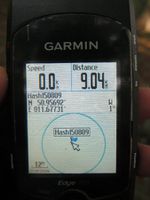
At temperatures of about 25°C and with hot sun shining everywhere I didn't feel much like moving. But Reinhard sent me to this Geohash, which might have qualified as a Running Geohash in winter, but now I was sure I was gonna die if I tried to run that distance, so I took my bike instead. I knew the way, so only the last 200m through hedge and ditch were a bit of an adventure. Found the point, then watched some paragliders practicing on a nearby meadow and went home before the heat would be even worse.
Photos
|


