Difference between revisions of "2016-04-10 51 9"
From Geohashing
imported>GeorgDerReisende (new report) |
imported>GeorgDerReisende (expedition report for Niestetal-Heiligenrode) |
||
| Line 1: | Line 1: | ||
| − | |||
| − | |||
| − | |||
| − | |||
| − | |||
| − | |||
| − | |||
| − | |||
| − | |||
| − | |||
{{meetup graticule | {{meetup graticule | ||
| lat=51 | | lat=51 | ||
| Line 19: | Line 9: | ||
== Location == | == Location == | ||
| − | + | ||
| + | The hash was on the Mühlenberg (mill hill) east of Heiligenrode. | ||
== Participants == | == Participants == | ||
| − | + | ||
| − | + | [[User:GeorgDerReisende|GeorgDerReisende]] | |
== Plans == | == Plans == | ||
| − | + | ||
| + | The plan was to take the bus 31 to Heiligenrode, Karl-Marx-Straße and then to walk to the hash. | ||
== Expedition == | == Expedition == | ||
| − | |||
| − | == | + | {| |
| − | + | |- | |
| − | + | ! style="width:300px" | !! style="width:300px" | !! style="width:300px" | | |
| − | + | |- | |
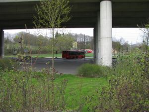
| − | + | | [[Image:2016-04-10 51 9 GeorgDerReisende 0200.jpg | 300px ]] || || I wanted to get the tram at 11:15, but I was a half hour too early, so I got the tram at 10:45. For that I arrived at the bus stop Mehrzweckplatz at 11:20, and started there my walk to the hash. | |
| − | Image: | + | |- |
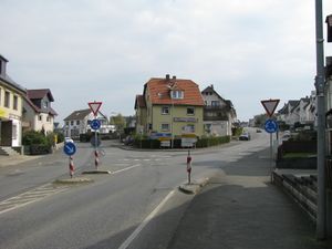
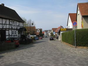
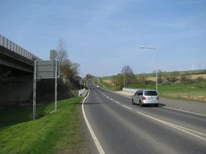
| − | -- | + | | [[Image:2016-04-10 51 9 GeorgDerReisende 0214.jpg | 300px ]] || [[Image:2016-04-10 51 9 GeorgDerReisende 0245.jpg | 300px ]] || I walked along the new main street of Heiligenrode and I found the old main street. |
| − | + | |- | |
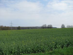
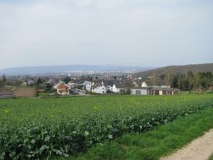
| − | + | | [[Image:2016-04-10 51 9 GeorgDerReisende 0261.jpg | 300px ]] || || At the end of Heiligenrode I climbed a hill and suddenly had a first view to the forest of hash. | |
| + | |- | ||
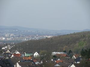
| + | | [[Image:2016-04-10 51 9 GeorgDerReisende 0266.jpg | 300px ]] || [[Image:2016-04-10 51 9 GeorgDerReisende 0276.jpg | 300px ]] || Looking back I had a view to Kassel in dust. I could not see my castle from here. | ||
| + | |- | ||
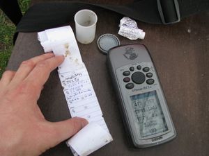
| + | | [[Image:2016-04-10 51 9 GeorgDerReisende 0295.jpg | 300px ]] || [[Image:2016-04-10 51 9 GeorgDerReisende 0296.jpg | 300px ]] || While walking across the fields I found a geocache. | ||
| + | |- | ||
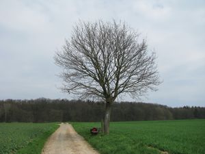
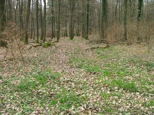
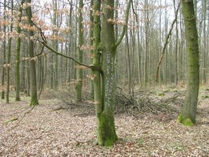
| + | | [[Image:2016-04-10 51 9 GeorgDerReisende 0371.jpg | 300px ]] || [[Image:2016-04-10 51 9 GeorgDerReisende 0373.jpg | 300px ]] || I walked a big circle around the hash, but at least I found a forest way leading direct to the hash. | ||
| + | |- | ||
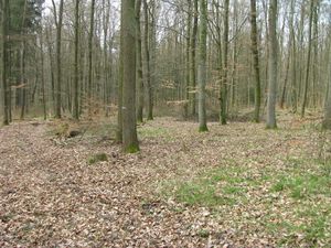
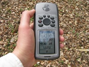
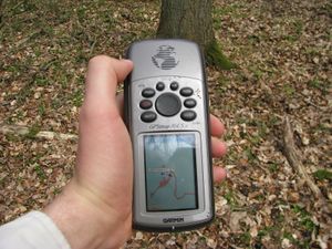
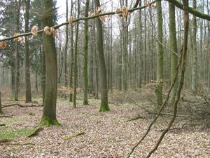
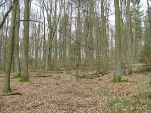
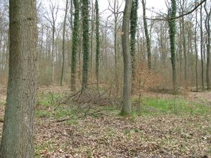
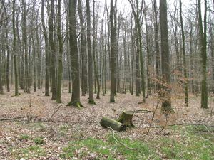
| + | | [[Image:2016-04-10 51 9 GeorgDerReisende 0378.jpg | 300px ]] || [[Image:2016-04-10 51 9 GeorgDerReisende 0383.jpg | 300px ]] || There was a need for some sort of dance, but I could get a clear result. And I looked around: | ||
| + | |- | ||
| + | | [[Image:2016-04-10 51 9 GeorgDerReisende 0379.jpg | 300px ]] to the west || [[Image:2016-04-10 51 9 GeorgDerReisende 0380.jpg | 300px ]] to the north || [[Image:2016-04-10 51 9 GeorgDerReisende 0381.jpg | 300px ]] to the east | ||
| + | |- | ||
| + | | [[Image:2016-04-10 51 9 GeorgDerReisende 0382.jpg | 300px ]] to the south || [[Image:2016-04-10 51 9 GeorgDerReisende 0384.jpg | 300px ]] || and to the geohasher. | ||
| + | |- | ||
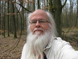
| + | | [[Image:2016-04-10 51 9 GeorgDerReisende 0385.jpg | 300px ]] || || I wrote a note on one tree. | ||
| + | |- | ||
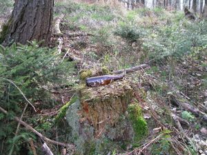
| + | | [[Image:2016-04-10 51 9 GeorgDerReisende 0419.jpg | 300px ]] || [[Image:2016-04-10 51 9 GeorgDerReisende 0444.jpg | 300px ]] || On my way home I found an unmapped way in the forest, alongside this way I found an empty beer bottle, the third of today. And I saw some butterflies. | ||
| + | |- | ||
| + | | [[Image:2016-04-10 51 9 GeorgDerReisende 0473.jpg | 300px ]] || || With my last energy I arrived back at the bus stop, just at this moment the bus arrived. | ||
| + | |} | ||
== Achievements == | == Achievements == | ||
| Line 45: | Line 55: | ||
<!-- Add any achievement ribbons you earned below, or remove this section --> | <!-- Add any achievement ribbons you earned below, or remove this section --> | ||
| − | + | {{A Tale of Two Hashes challenge | latitude = 51 | longitude = 9 | date = 2016-04-10 | name = [[User:GeorgDerReisende|GeorgDerReisende]] | place = Mühlenberg }} | |
| − | |||
| − | [[ | ||
| − | + | {{Hash collision | latitude = 51 | longitude = 9 | date = 2016-04-10 | name = GeorgDerReisende | link = http://coord.info/GC18TN1 | id = GC18TN1 | distance = 1030 m | honor = yes }} | |
| − | |||
| − | |||
| − | |||
| − | + | {{Geotrash | latitude = 51 | longitude = 9 | date = 2016-04-10 | name = GeorgDerReisende }} | |
| + | |||
| + | {{OpenStreetMap achievement | latitude = 51 | longitude = 9 | date = 2016-04-10 | OSMlink = 38455158 }} | ||
| − | |||
[[Category:Expeditions]] | [[Category:Expeditions]] | ||
| − | + | ||
[[Category:Expeditions with photos]] | [[Category:Expeditions with photos]] | ||
| − | + | ||
| − | |||
| − | |||
| − | |||
| − | |||
[[Category:Coordinates reached]] | [[Category:Coordinates reached]] | ||
| − | |||
| − | |||
| − | |||
| − | |||
| − | |||
| − | |||
| − | |||
| − | |||
| − | |||
| − | |||
| − | |||
| − | |||
| − | |||
| − | |||
| − | |||
| − | |||
| − | |||
| − | |||
Revision as of 17:34, 10 April 2016
| Sun 10 Apr 2016 in 51,9: 51.3151779, 9.6118037 geohashing.info google osm bing/os kml crox |
Location
The hash was on the Mühlenberg (mill hill) east of Heiligenrode.
Participants
Plans
The plan was to take the bus 31 to Heiligenrode, Karl-Marx-Straße and then to walk to the hash.
Expedition
Achievements
GeorgDerReisende issued a challenge for the Tale of Two Hashes achievement
|
GeorgDerReisende earned the Hash collision honorable mention
|
GeorgDerReisende earned the GeoTrash Geohash Achievement
|
This user earned the OpenStreetMap achievement
|
