Difference between revisions of "2016-10-29 51 9"
From Geohashing
imported>GeorgDerReisende (new report) |
imported>GeorgDerReisende m (expedition report for Zierenberg-Oelshausen) |
||
| Line 1: | Line 1: | ||
| − | |||
| − | |||
| − | |||
| − | |||
| − | |||
| − | |||
| − | |||
| − | |||
| − | |||
| − | |||
{{meetup graticule | {{meetup graticule | ||
| lat=51 | | lat=51 | ||
| Line 19: | Line 9: | ||
== Location == | == Location == | ||
| − | + | ||
| + | The hash lay on a field at Oelshausen. | ||
== Participants == | == Participants == | ||
| − | + | ||
| − | + | [[User:GeorgDerReisende|GeorgDerReisende]] | |
== Plans == | == Plans == | ||
| − | + | ||
| + | Tram and hitchhiking and walking, trying to be there at hash o'clock. | ||
== Expedition == | == Expedition == | ||
| − | |||
| − | |||
| − | |||
| − | |||
| − | == | + | {| |
| − | + | |- | |
| − | Image: | + | ! style="width:300px" | !! style="width:300px" | !! style="width:300px" | |
| − | -- | + | |- |
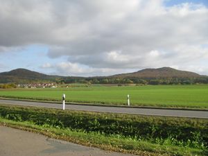
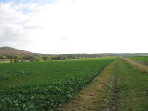
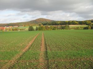
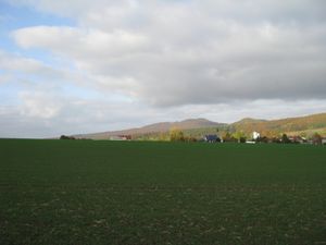
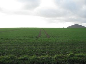
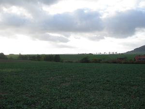
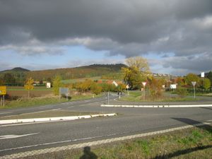
| − | + | | [[Image:2016-10-29 51 9 GeorgDerReisende 0119.jpg|300px]] || [[Image:2016-10-29 51 9 GeorgDerReisende 0142.jpg|300px]] || I started at home at 14:20, took the tram 3 to the Druseltal, and hitchhiked to Oelshausen, with two cars. I arrived on the parking site on the national road behind Oelshausen. Looking around I noticed, that all fields were green. I thought, that could hinder me from reaching the hash. | |
| − | + | |- | |
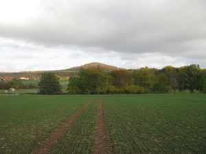
| + | | [[Image:2016-10-29 51 9 GeorgDerReisende 0146.jpg|300px]] || [[Image:2016-10-29 51 9 GeorgDerReisende 0149.jpg|300px]] || I reached the field way and walked along it. At the nearest point to the hash there were 120 meters to go. And just at that place there were tractor lanes on the field and I decided to try it. But the nearest place was already eleven meters away. | ||
| + | |- | ||
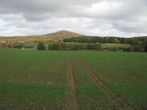
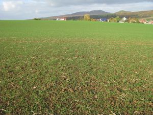
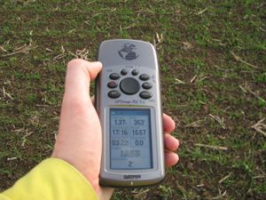
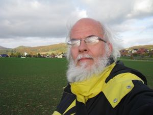
| + | | [[Image:2016-10-29 51 9 GeorgDerReisende 0150.jpg|300px]] || [[Image:2016-10-29 51 9 GeorgDerReisende 0151.jpg|300px]] || But I saw another tractor lane on the field and I thought, this could be the better possibility. I walked the 120 meters back to the field way, 12 meters to the nortn and again 120 meters into the field. This time I got a two meter shot. And I looked around: | ||
| + | |- | ||
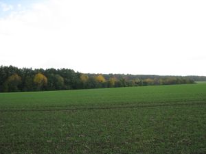
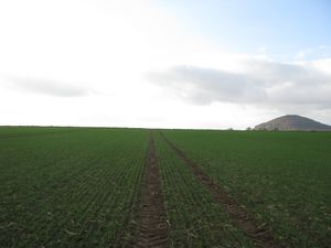
| + | | [[Image:2016-10-29 51 9 GeorgDerReisende 0152.jpg|300px]] to the south || [[Image:2016-10-29 51 9 GeorgDerReisende 0153.jpg|300px]] to the west || [[Image:2016-10-29 51 9 GeorgDerReisende 0155.jpg|300px]] to the north | ||
| + | |- | ||
| + | | [[Image:2016-10-29 51 9 GeorgDerReisende 0154.jpg|300px]] to the east || [[Image:2016-10-29 51 9 GeorgDerReisende 0156.jpg|300px]] and to the geohasher || | ||
| + | |- | ||
| + | | [[Image:2016-10-29 51 9 GeorgDerReisende 0157.jpg|300px]] || [[Image:2016-10-29 51 9 GeorgDerReisende 0186.jpg|300px]] || [[Image:2016-10-29 51 9 GeorgDerReisende 0197.jpg|300px]] | ||
| + | |- | ||
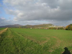
| + | | colspan = 3 | After geohashing I walked around Oelshausen and had different views to the hash. From the southern end of the field. I found out, that there was no access to the field from the eastern fieldway. On a later moment I had a view from the other side of the valley and I noticed, that I could be seen from everybody looking at the site. In the distance I saw a lot of tractors around the field. || | ||
| + | |- | ||
| + | | [[Image:2016-10-29 51 9 GeorgDerReisende 0138.jpg|300px]] || || This is the place, where I started to hitchhike home. | ||
| + | |} | ||
== Achievements == | == Achievements == | ||
| Line 45: | Line 47: | ||
<!-- Add any achievement ribbons you earned below, or remove this section --> | <!-- Add any achievement ribbons you earned below, or remove this section --> | ||
| − | + | {{Thumbs Up | latitude = 51 | longitude = 9 | date = 2016-10-29 | name = GeorgDerReisende }} | |
| − | |||
| − | |||
| − | + | {{XKCD Centurion | count = 34 | name = GeorgDerReisende }} | |
| − | + | [[Category:Expeditions]] | |
| − | |||
| − | [[Category: | ||
| − | |||
| − | + | [[Category:Expeditions with photos]] | |
| − | |||
| − | |||
| − | |||
| − | |||
| − | |||
| − | |||
| − | |||
| − | |||
| − | |||
[[Category:Coordinates reached]] | [[Category:Coordinates reached]] | ||
| − | |||
| − | |||
| − | |||
| − | |||
| − | |||
| − | |||
| − | |||
| − | |||
| − | |||
| − | |||
| − | |||
| − | |||
| − | |||
| − | |||
| − | |||
| − | |||
| − | |||
| − | |||
Revision as of 18:51, 29 October 2016
| Sat 29 Oct 2016 in 51,9: 51.3078059, 9.2578837 geohashing.info google osm bing/os kml crox |
Location
The hash lay on a field at Oelshausen.
Participants
Plans
Tram and hitchhiking and walking, trying to be there at hash o'clock.
Expedition
Achievements
GeorgDerReisende earned the Thumbs Up Geohash Achievement
|
GeorgDerReisende earned the xkcd Triginturion achievement
|
