Difference between revisions of "2017-12-27 -41 172"
imported>Quaternary (Created page with "[[Image:{{{image|2017_12_27_-41_172_06.JPG}}}|thumb|left]] <!-- And DON'T FORGET to add your expedition and the best photo you took to the gallery on the Main Page! We'd lov...") |
imported>Quaternary (→Achievements) |
||
| Line 61: | Line 61: | ||
== Achievements == | == Achievements == | ||
| − | |||
{{Virgin graticule | {{Virgin graticule | ||
| Line 70: | Line 69: | ||
| image = 2017_12_27_-41_172_06.JPG | | image = 2017_12_27_-41_172_06.JPG | ||
}} | }} | ||
| − | |||
| − | |||
| − | |||
{{gratuitous ribbon | {{gratuitous ribbon | ||
| color = red | | color = red | ||
Revision as of 09:31, 2 February 2018
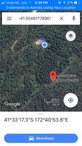
| Wed 27 Dec 2017 in -41,172: -41.5548178, 172.6815510 geohashing.info google osm bing/os kml crox |
Location
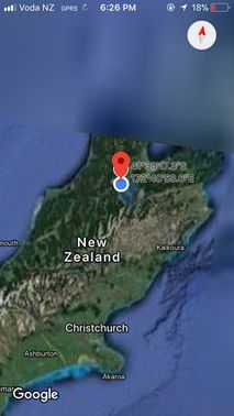
Near Kaka, Tasman/Nelson, New Zealand
Participants
The Quaternary (talk) family geohashers
Plans
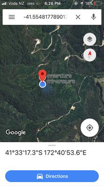
Having had Christmas with family in Barrytown on the West Coast, we were heading north to catch up with other family in Nelson. But what luck, there looked like there was a Geohash on the way, and in a virgin graticule what's more. The hash was in bush but looked like to be in a clearing just off a walking track called the Lookout Range Route, aka the Conical Hill track.
Expedition
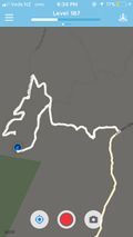
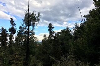
We arrived at the start of the track at around 4pm on a sunny, summer afternoon. It was still 2-3 kilometres from the hash we estimated, but this was as far as our car could get us. We didn't expect this to take too long, but unfortunately we took a wrong turn at one stage and ended up about 200 metres to the north of the hash. We had been pushing through quite dense forest for about 50 metres, and our arms and legs were scratched by the gorse, before it became impenetrable. At this stage our party of four became a party of two, as two of the family geohashers decided to retreat to the car and patch up the wounds. However, the last two hashers were given an extra half hour leave when we found a new track that we figured would take us south of the hash. So off we jogged.
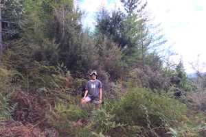
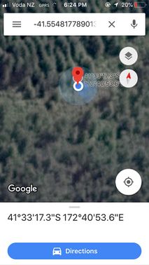
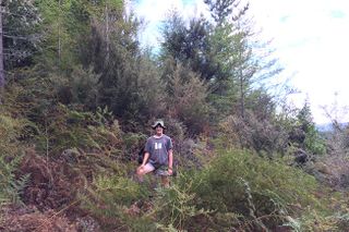
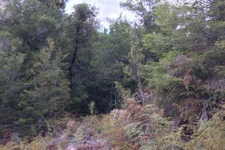
This was indeed the correct decision, as this track took us within about 20 metres of the clearing that we had been looking for, and the forest was native bush devoid of any of the gorse. Once in the clearing, we were seconds from the hash - wohoo!
Tracking our for the return route, it was 2.1 km as we jogged back to the car. By now it was 7pm. This three hour hashing adventure was our longest one to date.
Curiously, two nights later we were having dinner with family, who also had a neighbour over for tea. It turned out that this neighbour, along with half a dozen other blokes, had actually dug the Conical Hill track that we had use on our assault of the hash, back in the 1970s. Ahh, it sure is a small old world.
Tracklog
Photos
Achievements
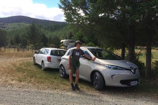
Quaternary earned the Electric Vehicle Achievement
|
