Difference between revisions of "2008-05-30 33 -84"
From Geohashing
imported>Depquid (New page: {{meetup graticule |map=<map lat="33" lon="-84" date="2008-05-30" /> |lat=33 |lon=-84 |date=2008-05-30 | graticule_name=Atlanta, GA | graticule_link=Atlanta, Georgia }} Location was conve...) |
imported>Thomcat (Success/failure category added) |
||
| Line 16: | Line 16: | ||
Image:2008-05-30_33_-84_003.jpg|Nearby entrance sign, for reference sake. According to my brother, who took these photos, the traffic sign represents the life of someone who spends all of their time geohashing. :-) | Image:2008-05-30_33_-84_003.jpg|Nearby entrance sign, for reference sake. According to my brother, who took these photos, the traffic sign represents the life of someone who spends all of their time geohashing. :-) | ||
</gallery> | </gallery> | ||
| + | |||
| + | [[Category:Expeditions]] | ||
| + | [[Category:Expeditions with photos]] | ||
| + | [[Category:Coordinates reached]] | ||
| + | [[Category:Expedition without GPS]] | ||
Revision as of 17:09, 6 August 2008
| Fri 30 May 2008 in Atlanta, GA: 33.8531026, -84.2446022 geohashing.info google osm bing/os kml crox |
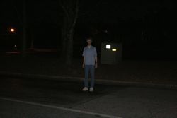
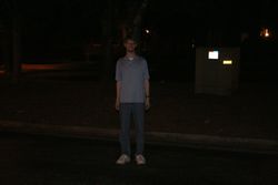
Location was conveniently located at the end of a road to an office park, in Tucker. We were at a party in the area and stopped by here around 23:30 EDT.
- Photos


