Difference between revisions of "2020-07-31 50 11"
(Report) |
(gallery) |
||
| Line 21: | Line 21: | ||
{{gallery|width=200|height=200|lines=2 | {{gallery|width=200|height=200|lines=2 | ||
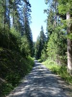
| − | |Image:2020-07- | + | |Image:2020-07-31_50_11_weg.jpg|refreshing walk in the cool forest |
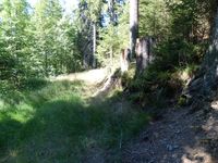
| − | |Image:2020-07- | + | |Image:2020-07-31_50_11_near1.jpg|almost there |
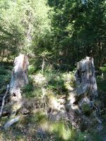
| − | |Image:2020-07- | + | |Image:2020-07-31_50_11_near2.jpg|into the undergrowth |
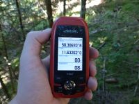
|Image:2020-07-31_50_11_gps.jpg|GPS | |Image:2020-07-31_50_11_gps.jpg|GPS | ||
|Image:2020-07-31_50_11_hp.jpg|coordinates reached | |Image:2020-07-31_50_11_hp.jpg|coordinates reached | ||
| + | |Image:2020-07-31_50_11_spot.jpg|hashpoint | ||
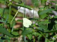
|Image:2020-07-31_50_11_zitronenfalter.jpg|[[wikipedia:Gonepteryx rhamni|brimstone butterfly]] | |Image:2020-07-31_50_11_zitronenfalter.jpg|[[wikipedia:Gonepteryx rhamni|brimstone butterfly]] | ||
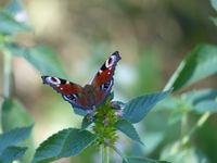
|Image:2020-07-31_50_11_tagpfauenauge.jpg|[[wikipedia:Aglais io|peacock butterfly]] | |Image:2020-07-31_50_11_tagpfauenauge.jpg|[[wikipedia:Aglais io|peacock butterfly]] | ||
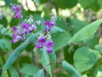
| − | |Image:2020-07- | + | |Image:2020-07-31_50_11_blume1.jpg| |
| − | |Image:2020-07- | + | |Image:2020-07-31_50_11_blume2.jpg| |
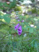
|Image:2020-07-31_50_11_fingerhut.jpg|foxglove | |Image:2020-07-31_50_11_fingerhut.jpg|foxglove | ||
}} | }} | ||
Revision as of 17:17, 6 August 2020
| Fri 31 Jul 2020 in Erfurt: 50.3069398, 11.6326234 geohashing.info google osm bing/os kml crox |
Location
Today's location is in the forest near Lippertsgrün, a part of Naila.
Country: Germany; state: Bayern (Bavaria, EU:DE:BY); district: Hof; municipality: Naila
Expedition
Danatar
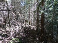
I planned to visit my parents and meet friends on the way in Würzburg, so, for the first time since the start of the SARS-CoV 2 pandemic, I left the Dresden area. After driving along the Autobahns A4 and A72, I left the latter at the ultimate exit, then followed the B173 federal road past Naila to Lippertsgrün. There I parked the car at the beginning of a forst track and started my small walk. After the heat in the car on this hottest day of the year (so far) and with an only partially working air conditioning, it was very refreshing to walk through the shady forest. There were lots of flowers and butterflies next to the track. It didn't take very long to arrive near the hashpoint. The spot was only about 5 meters off a small trail but there was a steep slope and dense underbrush next to the trail. I had to walk around a bit and then whiggle carefully between the trees before I finally reached the spot.
I didn't stay long, walking back towards the car soon. Shortly after arriving there I was back on the B173 and driving onward in the direction of Kronach, towards the 50 10 hashpoint.
|
tracklog
will follow
