Difference between revisions of "2020-09-04 -37 144"
From Geohashing
(→Stevage) |
m (Location correction) |
||
| Line 54: | Line 54: | ||
[[Category:Expeditions with photos]] | [[Category:Expeditions with photos]] | ||
[[Category:Coordinates reached]] | [[Category:Coordinates reached]] | ||
| − | {{location|AU|VIC| | + | {{location|AU|VIC|MV}} |
Revision as of 21:03, 18 September 2020
| Fri 4 Sep 2020 in -37,144: -37.7725921, 144.9277859 geohashing.info google osm bing/os kml crox |
Location
Doing ridebys on a main road in Brunswick
Participant
Expedition
Lachie
Stevage
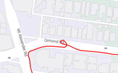
What a delightful discovery, a rare geohash within my 5 kilometre exercise boundary. Only just, though. Now I just had to make a loop that went through and still got the most out of my government-sanctioned hour of exercise per day. So convenient that the point was actually in the middle of the road.
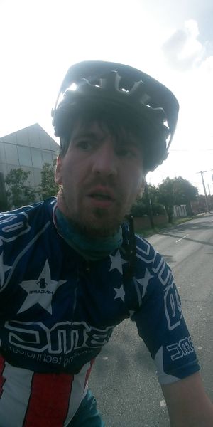
I rode hard. I'd already memorised the point location, so I didn't have to stop and use the app to confirm where I was. I did an extra loop to be sure, dodging traffic and taking dodgy selfies.
Photos
Achievements
Lachie and Stevage earned the Bicycle geohash achievement
|
Lachie and Stevage earned the Restricted area achievement
|


