Difference between revisions of "2021-03-02 42 -83"
From Geohashing
(→Achievements) |
m (Location) |
||
| Line 50: | Line 50: | ||
[[Category:Expedition without GPS]] | [[Category:Expedition without GPS]] | ||
[[Category:Coordinates reached]] | [[Category:Coordinates reached]] | ||
| + | {{location|US|MI|WY}} | ||
Latest revision as of 00:42, 3 March 2021
| Tue 2 Mar 2021 in 42,-83: 42.2536307, -83.1922400 geohashing.info google osm bing/os kml crox |
Location
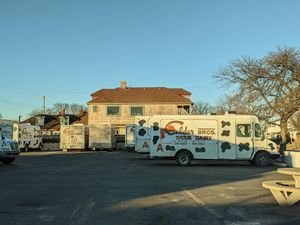
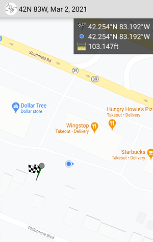
Southfield Road and Dix Highway, just behind Wingstop
Participants
Plans
This was the first geohash I chose to visit! I was familiar with the area and stopped by on my way into downtown Detroit.
Expedition
This was my first, so it was a short adventure. An hour's drive down Telegraph and the Southfield Freeway from the northern suburbs took me within 100 feet of the location.
Calder Dairy, a popular locally-owned ice cream shop, is just a mile down the road from the hashpoint.

