Difference between revisions of "2013-11-28 28 -82"
imported>FippeBot m (Location) |
m |
||
| Line 15: | Line 15: | ||
=== The Geohashers === | === The Geohashers === | ||
| − | * [[user: | + | * [[user:Geoffistopheles|Geoff]] |
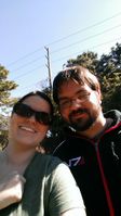
* [[user:NinjaBait|Erica]] | * [[user:NinjaBait|Erica]] | ||
| Line 42: | Line 42: | ||
| longitude = -82 | | longitude = -82 | ||
| date = 2013-11-28 | | date = 2013-11-28 | ||
| − | | name = [[user: | + | | name = [[user:Geoffistopheles|Geoff]] |
}} | }} | ||
Latest revision as of 17:10, 24 March 2021
| Have you seen our geohashing marker? We'd love to hear from you! Click here to say "hi" and tell us what you've seen!
Curious about what geohashing is? Read more! |
| Thu 28 Nov 2013 in New Port Richey, Florida: 28.2719193, -82.6516261 geohashing.info google osm bing/os kml crox |
Expedition
The Plan
Near Cypress Elementary School in New Port Richey. Thanksgiving dinner got bumped back, so we'll head out around noon, it's only a half hour drive.
The Geohashers
The Adventure
This may just be the coldest hash we've been on. Mainly because we hash in Florida and had to wear a sweater! It was actually colder in Canada when we called back to family, go figure.
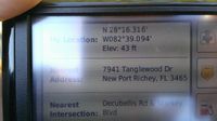
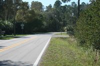
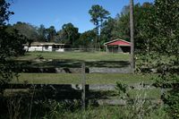
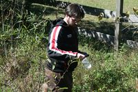
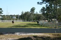
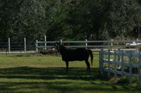
There wasn't a lot to this geohash. We took US 19 north to New Port Richey, then cut across to the subcommunity with the elementary school. The geohash was just off the main road. Naturally, as soon as we got there, the GPS stopped updating, so I had to make an educated guess. Fortunately, the GPS froze right next to the hashpoint, so I used that and going back to Google Maps. We left the Queen of Diamonds across the street and went back home.
Gallery
Coming soon!
- Photo Gallery
Achieveables
Geoff earned the GeoTrash Geohash Achievement
|
