Difference between revisions of "2021-08-26 51 9"
From Geohashing
(expedition report for Einbeck-Vogelbeck) |
m (Location) |
||
| Line 47: | Line 47: | ||
[[Category:Coordinates reached]] | [[Category:Coordinates reached]] | ||
| + | {{location|DE|NI|NOM}} | ||
Latest revision as of 19:42, 27 August 2021
| Thu 26 Aug 2021 in 51,9: 51.7808346, 9.9529277 geohashing.info google osm bing/os kml crox |
Location
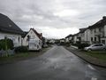
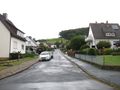
The hash lay above the Angerstraße in Vogelbeck.
Participants
Plans
As usual.
Expedition
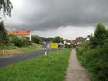
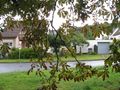
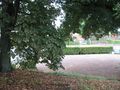
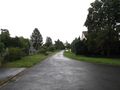
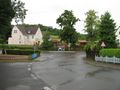
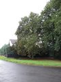
It was a usual travel. By bus, two trains and another bus. Then a walk. While I arrived at the village big dark clouds approached. I could walk into the village, but there I had to wait for about an hour until a rain ended. Then I walked onto the hash. I found it at a chestnut behind the war memorial.
Photos

arrived
weather forecast
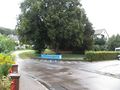
the hash lay at the chestnut behind the war memorial
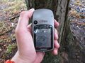
proof 1
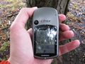
proof 2
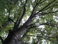
the chestnut of hash

the geohasher
looking north
east
south

west
better view from the corner: west
north
east
south
again: the chestnut of hash


