Difference between revisions of "2021-12-26 30 -81"
(Created page with "{{meetup graticule | map=<map lat="30" lon="-81" date="2021-12-26" /> | lat=30 | lon=-81 | date=2021-12-26 | graticule_name=Jacksonville, Florida | graticule_link=Jacksonville...") |
m (Location correction) |
||
| Line 38: | Line 38: | ||
[[Category:Coordinates reached]] | [[Category:Coordinates reached]] | ||
[[Category:Expeditions with photos]] | [[Category:Expeditions with photos]] | ||
| − | {{location|US|FL| | + | {{location|US|FL|CY}} |
Revision as of 04:52, 27 December 2021
| Sun 26 Dec 2021 in Jacksonville, Florida: 30.1075265, -81.7059686 geohashing.info google osm bing/os kml crox |
Expedition
The Plan
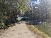
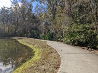
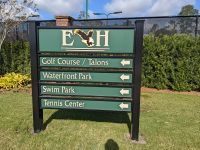
On a trail called Black Creek Trail. This is still in the suburbs, so it's more of a paved trail next to a road that's like a nature sidewalk. Go park at the nearby subdivision, Eagle Harbor, and walk on over.
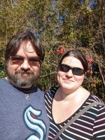
The Geohashers
The Adventure
Pretty simple all things considered. The only eventful thing is that since we were away from most shopping centers, we avoided Boxing Day returns, exchanges, and sales. Just as planned, we parked it and walked on over. There were more people there than I anticipated, which was surprising and yet not; years ago, I used to live near one of these trails and it was frequently used. Almost like people want to be outside more often these days.
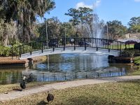
Wanted to get a good picture of a bridge to nowhere but there was a family there feeding ducks bread. I jogged back when I realized they were gone, only to get half of a good picture before slowly being mobbed by the ducks expecting more bread.
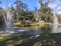
On the way back, we saw Moosehaven again, which brought me back to one of the first geohashes I ever did when I first noticed it. Amazing how I know my way around the city more through a combination of geohashing and Geoguessr.
Gallery
- Photo Gallery

