Difference between revisions of "2022-08-10 51 9"
From Geohashing
(expedition report for Warburg-Rimbeck) |
m (Location) |
||
| Line 43: | Line 43: | ||
[[Category:Coordinates reached]] | [[Category:Coordinates reached]] | ||
| + | {{location|DE|NW|HX}} | ||
Latest revision as of 12:42, 11 August 2022
| Wed 10 Aug 2022 in 51,9: 51.5195536, 9.0679329 geohashing.info google osm bing/os kml crox |
Location
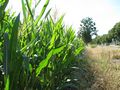
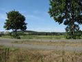
The hash lay at the side of the national road B7 between Ossendorf and Rimbeck.
Participants
Plans
Traveling by bus to Ossendorf, walking to the hash.
Expedition
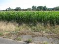
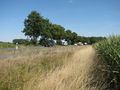
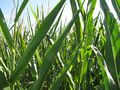
A hot day. And I found the hash. But the field didn't end at the border between Ossendorf and Rimbeck, it led 50 meters into Rimbeck.
Photos
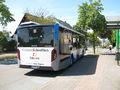
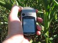
arrived
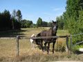
hash horses
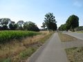
the hash is on the left
about there
proof
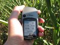
proof
looking east
south
west
north

the geohasher

the field doesn't end here
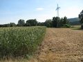
but here


