Difference between revisions of "2023-09-05 53 9"
From Geohashing
(→Achievements: Added) |
(→Photos: Added photos) |
||
| Line 26: | Line 26: | ||
== Photos == | == Photos == | ||
| − | < | + | <gallery mode="packed" heights="140px"> |
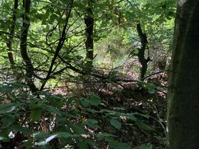
| − | + | File:2023-09-05 53 9 - 01 On way - Gap in fence.JPG | Gap in fence I used. | |
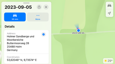
| − | -- | + | File:2023-09-05 53 9 - 02 GPS evidence.PNG | GPS evidence. |
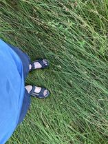
| − | + | File:2023-09-05 53 9 - 03 Feet at hashpoint.JPG | Rsge's feet at the hash. | |
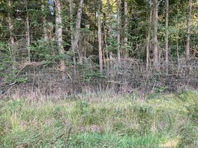
| − | + | File:2023-09-05 53 9 - 04 Fence in street direction.JPG | The fence separating me from the street. | |
| + | File:2023-09-05 53 9 - 04 Pano north ground.JPG | A panorama from the ground at the hash. | ||
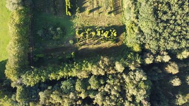
| + | File:2023-09-05 53 9 - 05 Drone downwards.JPG | The hash from a bird's eye view, straight down. | ||
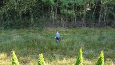
| + | File:2023-09-05 53 9 - 06 Drone low.JPG | Rsge at the hash via drone. | ||
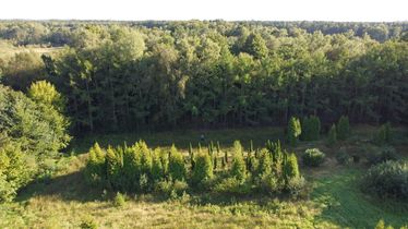
| + | File:2023-09-05 53 9 - 07 Drone mid.JPG | Rsge at the hash via drone from further away. | ||
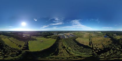
| + | File:2023-09-05 53 9 - 10 Drone 360 °.JPG | A 360 ° photo at the hash. Special viewer needed. | ||
| + | File:2023-09-05 53 9 - 08 Drone pano north.JPG | A panorama of the north of the hash via drone. | ||
| + | File:2023-09-05 53 9 - 09 Drone pano south.JPG | A panorama of the south of the hash via drone. | ||
</gallery> | </gallery> | ||
| − | + | [[File:2023-09-05 53 9 - 11 Drone video.MP4|thumb|center|500px|A time lapse flight around the hash using a drone. '''Loud audio.''']] | |
== Achievements == | == Achievements == | ||
Revision as of 21:51, 18 October 2023
| Tue 5 Sep 2023 in 53,9: 53.6204576, 9.7357352 geohashing.info google osm bing/os kml crox |
Location
Participants
Plans
Expedition
Photos
Achievements
Rsge earned the Two to the N achievement
|
Rsge earned the Two to the N achievement
|
Rsge earned the Land geohash achievement
|
Rsge earned the Bicycle geohash achievement
|
