Difference between revisions of "2024-02-03 -37 144"
From Geohashing
| Line 1: | Line 1: | ||
| − | + | {{meetup graticule | |
| − | |||
| − | |||
| − | |||
| − | |||
| − | |||
| − | |||
| − | |||
| − | |||
| lat=-37 | | lat=-37 | ||
| lon=144 | | lon=144 | ||
| Line 13: | Line 5: | ||
}}<!-- edit as necessary --> | }}<!-- edit as necessary --> | ||
== Location == | == Location == | ||
| − | + | Just off the beach in Jawborne Flora and Fauna Reserve, Williamstown, a southwestern suburb of Melbourne. | |
== Participants == | == Participants == | ||
| Line 40: | Line 32: | ||
=== Expedition 1 (Steve) === | === Expedition 1 (Steve) === | ||
=== Expedition 2 (KT) === | === Expedition 2 (KT) === | ||
| − | === Expedition 3 | + | === Expedition 3 (BarbaraTables) === |
| − | |||
To get there, I took Bus Route 691 to Stud Park, Bus Route 901 to Dandenong Station, the train to Flinders Street Station, another train to Southern Cross Station, and finally took the Williamstown train to North Williamstown. The Geohash was a short walk from there. | To get there, I took Bus Route 691 to Stud Park, Bus Route 901 to Dandenong Station, the train to Flinders Street Station, another train to Southern Cross Station, and finally took the Williamstown train to North Williamstown. The Geohash was a short walk from there. | ||
| Line 47: | Line 38: | ||
I had to sorta stand in a beach shrub to get the point dead-on. After that was done, I got some ice cream :) | I had to sorta stand in a beach shrub to get the point dead-on. After that was done, I got some ice cream :) | ||
| + | === Expedition 4 (John / Bridget) === | ||
=== Expedition 5 (Lachie, Laura, Pcw) === | === Expedition 5 (Lachie, Laura, Pcw) === | ||
Revision as of 10:51, 3 February 2024
| Sat 3 Feb 2024 in -37,144: -37.8656057, 144.8825541 geohashing.info google osm bing/os kml crox |
Location
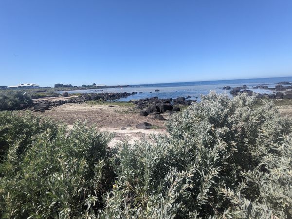
Just off the beach in Jawborne Flora and Fauna Reserve, Williamstown, a southwestern suburb of Melbourne.
Participants
- Expedition 1
- Expedition 2
- Expedition 3
- Expedition 4
- John
- Bridget
- Expedition 5
Plans
Expedition
Expedition 1 (Steve)
Expedition 2 (KT)
Expedition 3 (BarbaraTables)
To get there, I took Bus Route 691 to Stud Park, Bus Route 901 to Dandenong Station, the train to Flinders Street Station, another train to Southern Cross Station, and finally took the Williamstown train to North Williamstown. The Geohash was a short walk from there.
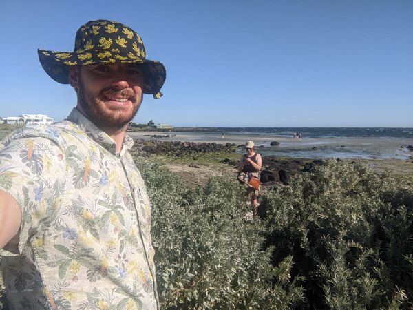
Once again, an easy one requiring more patience than effort. The best part of the journey was easily the destination - the Marine Sanctuary the Geohash was located in had some lovely gardens full of ponds, birds, and butterflies.
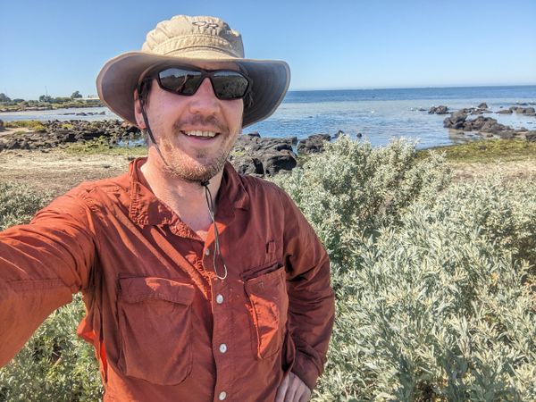
I had to sorta stand in a beach shrub to get the point dead-on. After that was done, I got some ice cream :)
Expedition 4 (John / Bridget)
Expedition 5 (Lachie, Laura, Pcw)
Tracklog
Photos
Achievements
BarbaraTables earned the Land geohash achievement
|
BarbaraTables earned the Public transport geohash achievement
|
BarbaraTables earned the Two to the N achievement
|
