Difference between revisions of "Salla, Finland"
From Geohashing
m (per Renaming Proposal) |
AperfectBot (talk | contribs) m (Updated graticule template with information from All Graticules, using standard format.) |
||
| Line 7: | Line 7: | ||
| w = [[Kemijärvi, Finland|Kemijärvi]] | | w = [[Kemijärvi, Finland|Kemijärvi]] | ||
| name = [[Salla, Finland|Salla]] | | name = [[Salla, Finland|Salla]] | ||
| − | | e = [[ | + | | e = [[Oulanka, Finland|Oulanka]] |
| sw = [[Pudasjärvi East, Finland|Pudasjärvi East]] | | sw = [[Pudasjärvi East, Finland|Pudasjärvi East]] | ||
| s = [[Taivalkoski, Finland|Taivalkoski]] | | s = [[Taivalkoski, Finland|Taivalkoski]] | ||
Revision as of 23:46, 18 June 2024
| Pyhäjärvi | Savukoski | Värriö |
| Kemijärvi | Salla | Oulanka |
| Pudasjärvi East | Taivalkoski | Kuusamo |
|
Today's location: geohashing.info google osm bing/os kml crox | ||
This graticule is located at 66,28. Today's location
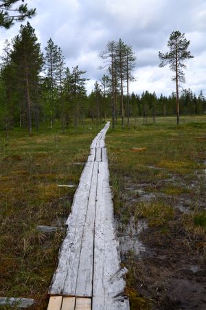
This graticule is part of the Finnish Eastern Lapland. The area is very sparsely populated, population density is about 0,8 persons/km². The biggest municipality centers are Salla and Posio. The nature is mostly taiga forests, swamps and lakes. One national park, Riisitunturi national park, lies within this graticule. Note that the graticule is distorted very narrow due to the proximity of North Pole.
Local Geohashers
None.
Meetups
- 1. 2014-04-26 In Vilmavaara, Kemijärvi. Reached successfully by Pastori and The Wife
- 2. 2017-06-17 Ala-Kitka, Kuusamo. Reached successfully by Pastori and The Wife
- 3. 2018-06-18 Koutelo, Salla. Reached successfully by Pastori and The Wife
Notable Dates
Pastori earned the Graticule Unlocked Achievement
|
