Difference between revisions of "2024-07-03 -38 145"
m (Location) |
|||
| Line 48: | Line 48: | ||
==Achievements== | ==Achievements== | ||
{{#vardefine:ribbonwidth|100%}} | {{#vardefine:ribbonwidth|100%}} | ||
| + | {{Constant geohasher | ||
| + | | startlatitude = -37 | ||
| + | | startlongitude = 144 | ||
| + | | startdate = 2023-05-31 | ||
| + | | endlatitude = -38 | ||
| + | | endlongitude = 145 | ||
| + | | enddate = 2024-07-03 | ||
| + | | months = 15 | ||
| + | | name = [[User:Stevage|Stevage]] | ||
| + | }} | ||
| + | |||
__NOTOC__ | __NOTOC__ | ||
Latest revision as of 01:03, 14 July 2024
| Wed 3 Jul 2024 in -38,145: -38.4591779, 145.0060062 geohashing.info google osm bing/os kml crox |
Location
On the side of a rural road near Flinders, Victoria.
Participants
- Stevage
- Minnie (Steve's niece)
Expedition
This Wednesday I'm looking after my niece all day, during school holidays. I don't have any grand plans, so turn to the geohashing gods for some guidance. Can they help me out?
They can! The spot is roughly on the fenceline of a farm half an hour's drive away.
First, we drive to Main Ridge nature reserve for a quick walk. It's pretty cold but a beautiful sunny day, and we see lots of crimson rosellas, sulphur crested cockatoos, and a few fantails.
Minnie can't even remember the last geohash we did, but is happy to come along for any adventure. It's a short drive to the turn-off point. Suddenly there are big trucks everywhere, mobile cranes, surveyors, lots of high vis. I can't even work out what's going on, some kind of major utility upgrade by the looks of things.
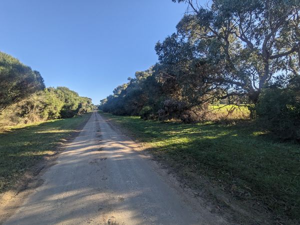
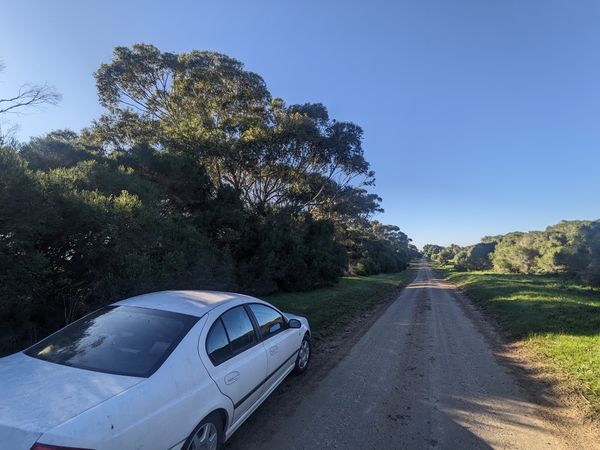
Driving down Boyds Road I'm not feeling confident. On the north side of the road, there is dense vegetation - blackberries, swordgrass, the works. I express my doubts. Minnie declares boldly that she is definitely not going in there. I don't blame her, and tell she doesn't have to.
But when we get to the actual spot, it's all changed - just a few melaleucas and grass. And it's even sunnier than before. Things are looking up.
We get out. Minnie asks if she will need her snack bag and water bottle. It's only 18 metres to the point, so I break a cardinal rule, and actually embark on an adventure with a five year old with no snacks.
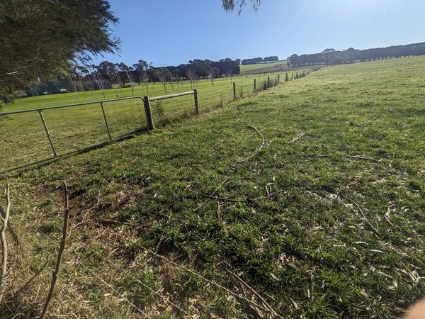
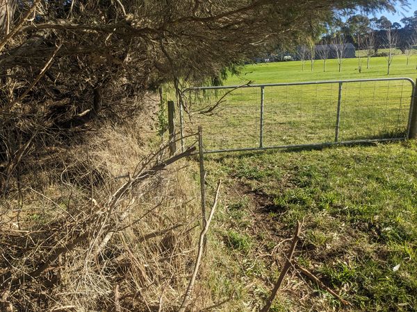
I'm not sure what I'll do if the point is the other side of the fence. On my own I'd definitely clamber over, but I'm not sure what kind of example that would set here.
As fate has it, it's not required. We clomp through the bushes and get up to the fence, and then I see that we have already gone slightly past the point.
The GPS is a bit unsettled and we have to do the dance for a while, but I feel pretty confident that the point was at least a metre on our side of the fence, and that we crossed it at some point. Success!
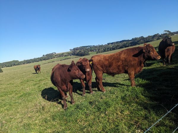
Then we hear some cows mooing across the road. Minnie claims she has never seen a cow before, so we venture across. The grass is wet, so to spare her from wet shoes, I piggy back her across. (Little do I know that 30 minutes later, she'll be intentionally wading ankle deep in the sea, fully clothed...) The cows, well, steers are friendly.
But then Minnie asks why I call them steers, not cows. I explain that steers are boy cows, but then things get awkward as I ponder how to explain the difference between steers and bulls, and oh, look at the time, it's time for us to go!
We then celebrate with a beach walk, some bouldering, dog patting, lunch, a playground, a coffee, a brownie, another playground, and a nursery.
Photos
Achievements
Stevage earned the Constant geohasher achievement
|
