Difference between revisions of "2024-10-26 44 -1"
| Line 46: | Line 46: | ||
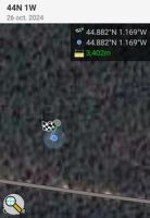
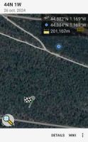
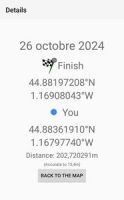
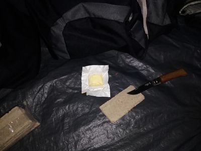
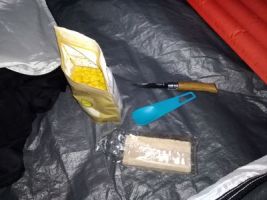
Back near my bike, about 200 meters from the geohash and in almost pitch black (thank God for headlamps), I set up my tent in the still-pouring rain and finally relaxed a bit: a change of clothes, and of course, meal prep! On the menu: buckwheat bread with butter (forgot the radishes!) and freeze-dried chicken curry. Not the most photogenic (see below), but delicious — and definitely welcome after the afternoon’s efforts! | Back near my bike, about 200 meters from the geohash and in almost pitch black (thank God for headlamps), I set up my tent in the still-pouring rain and finally relaxed a bit: a change of clothes, and of course, meal prep! On the menu: buckwheat bread with butter (forgot the radishes!) and freeze-dried chicken curry. Not the most photogenic (see below), but delicious — and definitely welcome after the afternoon’s efforts! | ||
| + | |||
| + | |||
| + | <gallery heights="200px" mode="packed"> | ||
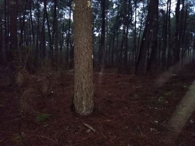
| + | Image:2024-10-26_44_-1_13.jpg|Camping distance, proof #1. | ||
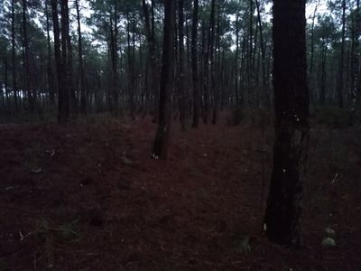
| + | Image:2024-10-26_44_-1_14.jpg|Camping distance, proof #2. | ||
| + | Image:2024-10-26_44_-1_15.jpg|Dinner #1: buckwheat bread with butter (forgot the radishes!). | ||
| + | Image:2024-10-26_44_-1_16.jpg|Dinner #2: freeze-dried chicken curry. | ||
| + | </gallery> | ||
'''Work in progress, to be continued...''' | '''Work in progress, to be continued...''' | ||
Revision as of 21:16, 27 October 2024
| Sat 26 Oct 2024 in 44,-1: 44.8819721, -1.1690804 geohashing.info google osm bing/os kml crox |
Location
In a pine forest near Le Porge.
Participants
Expedition
On 2024-10-25 (yeah, I'm an ISO 8601 fan), I noticed that the geohash point fell within an unlocked graticule next to mine (there are 7 of them!). My first plan was to make the trip by bicycle — a 130 km round-trip almost entirely along bike lanes, and I announced it on Discord (join us!). But since I’m on holiday, I thought it’d be a great chance to bivouac there and go for the Camping geohash achievement (one of my target achievements). So, I packed up my gear and settled in for a patient wait until the next day.
Here's the tracklog. (Note that it's not an actual recording of my GPS position, but a GPX I prepared in advance to guide me, thanks to the wonderful gpx.studio. Also, for privacy reasons, it starts from Bordeaux although I don't live there.)
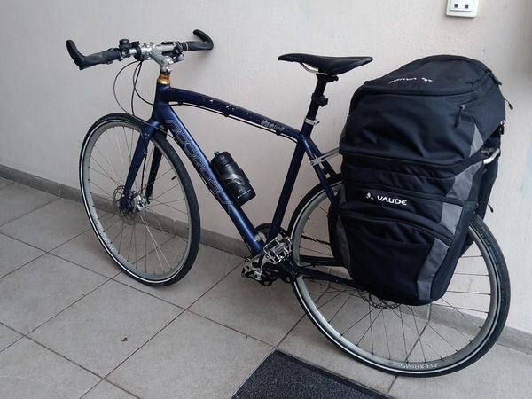
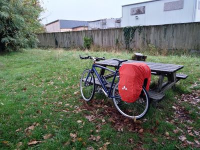
I departed on 2024-10-26, around 2 pm, with all my gear: tent, sleeping bag, sleeping pad, rain equipment, stove, food, etc. It's nice to be comfy!
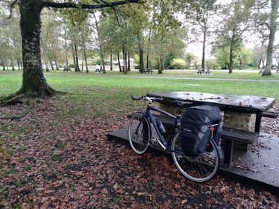
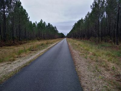
The route was pleasant and mostly uneventful — almost perfect, though I would have preferred it without the rain.
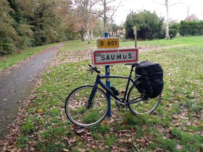
Break #3., in Saumos.
Upon arriving near the geohash, I made the mistake of dismounting to take a sandy path, which, unsurprisingly, the rain had made even less passable... After thoroughly mucking up my bike and shoes, I decided to head back to the bike path and continue until reaching the closest point to the geohash. Since this spot qualified for the "camping achievement" I left my bike there and set off on foot toward the geohash. Second setback: no signal! Geohash Droid couldn’t guide me. So, I turned back to my bike and rode nearly a kilometer to find enough reception to load the geohash in the app. Back at my future bivouac point, I left my bike again and finally ventured into the pine forest, guided by the app this time. Success!
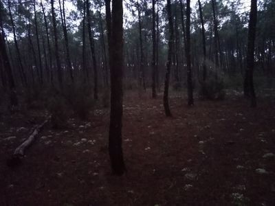
View from geohash #4 (ARE YOU NOT ENTERTAINED?).
Back near my bike, about 200 meters from the geohash and in almost pitch black (thank God for headlamps), I set up my tent in the still-pouring rain and finally relaxed a bit: a change of clothes, and of course, meal prep! On the menu: buckwheat bread with butter (forgot the radishes!) and freeze-dried chicken curry. Not the most photogenic (see below), but delicious — and definitely welcome after the afternoon’s efforts!
Work in progress, to be continued...
Photos
Achievements
Beltxarga earned the Land geohash achievement
|
Beltxarga earned the Bicycle geohash achievement
|
Beltxarga earned the Camping geohash achievement
|
Beltxarga achieved level 1 of the Minesweeper Geohash achievement
|
Beltxarga earned the Picnic achievement
|
