2009-02-13 48 8
From Geohashing
Revision as of 21:49, 13 February 2009 by imported>Ekorren (Still no report, but a large gallery.)
| Fri 13 Feb 2009 in Pforzheim: 48.4542140, 8.6897951 geohashing.info google osm bing/os kml crox |
Contents
Location
The hashpoint is at Horb, on a footpath in the Hohenberg residential area.
Hohenberg actually means "high mountain". The hash seems to be located at exactly 500 m above sea level, what, provided that it more or less marks the eastern margin of the Black Forest, isn't that high anyway.
Expedition by Ekorren
first approach by bike
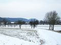
Icy trail
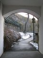
Narrow trail
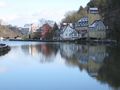
Neckar near Rottenburg
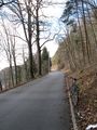
Not the destination, but the end
What & Where

On the train


second approach by public transport
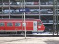
Train
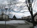
Somewhere between these houses
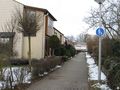
In front of this one
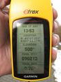
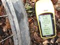
Coordinates
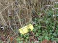
Marker
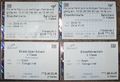
Needed four tickets


