Location
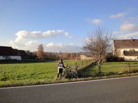
Next to a road on a meadow at the edge of Dittmannsdorf in Saxony.
Participants
Expedition
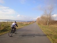
After a long absence Manu and Reinhard decided to go geohashing again, especially as the weekend was probably the last sunny and warm one for the rest of the year. They took their road bikes and started right after lunch, but were distracted on their way to Dittmansdorf: a signpost pointed to a viewpoint over lake Störmthal (a former open cast mining). There they found kilometres of new bike paths, which wanted to be explored... But since it dawns early in Germany in November and Manu and Reinhard had no lights with them, they had to continue after only half an hour. The hash lay quite unspectacular next to the road in a swampy area, so the hashers got wet feet, when they walked to the exact coordinates. After that they took a detour on their way home, but did not have any breaks, so they arrived before sunset after 76 kilometres total distance.
Photos
| Cycling around Störmthaler See.
|
| Arriving in Dittmannsdorf.
|
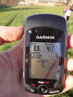
| The hashpoint luckily was on the left side of the fence.
|
| Manu and Reinhard at the hashpoint.
|
|


