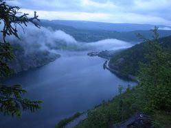
Location
In a forest, near a footpath, near Ryfossen.
Today's battleship location is: I
2
Participants
Plans
Visit the geohash and hike to Hugakøllen.
Expedition
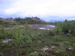
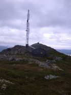
We visited the geohash and hiked to Hugakøllen. We also saw two meese.
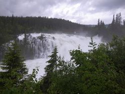
- 700m and a footpath towards the hash. The Ryfossen is impressive. -- relet @61,1421,8,8230 17:21, 11 Juni 2011 (MESZ)
Photos
| It was raining. "The main road Oslo-Trondheim is flooded" kind of rain. |
| We discovered the footpath to be a training run. |
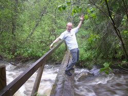
| And wonderful tiny bridges over wild water. |
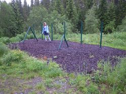
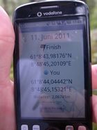
| Coordinates reached in the thick wet forest. |
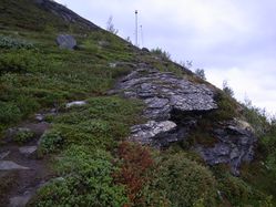
| The path is marked with lightning rods |
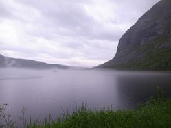
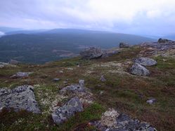
| Jotunheimen and Vangsmjøse |
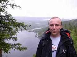
| On the way down - ca. 10pm |
|
Achievements
Template:Virgin graticule

