Location
200 meters into a probably very dirty field near Rodias. Great climb, great descent and muddy feet are expected for all participants.
Plans
Reinhard and Juja both signalled readiness to give it a try and test their newest feet-in-plastic-bags-technologies, but since they don't seem to be able to synchronize their schedules any more there even might be two (or more? Hello, 50/11 hashers?) expeditions.
Participants
Expedition: Juja
I started after work with dark clouds as far as the eye could see, but no rain. I did not feel too fast and indeed an old man on an even older bike overtook me at the first hill. But eventually I arrived at Milda and it went downhill from there ;) - I knew the way to Rodias and instead of playing the chicken on the vegetable patch I didn't bother to put the plastic bags out and cycled directly over the dirty field all the way to the point which would have had a lovely view to Leuchtenburg if the sun had been shining. When I was back on the roads of Rodias my tyres were full of dirt and mud, and so the following descent to Altendorf at 60-something km/h was great fun - dirt all over my face, yay! Anyway: hashpoint reached.
Photos: Juja
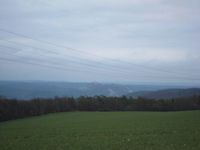
| Lovely dusk+bad weather view to Leuchtenburg.
|
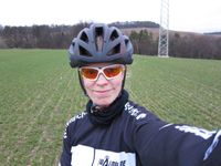
| Stupidly grinning Geohasher at the point.
|
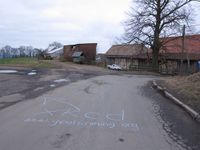
| Marked the way to the hash.
|
|
Expedition: Reinhard
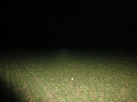
Of course, I was late as usual and could again wait for Juja to come back from the hashpoint successfully. The expedition took about two hours between 8 and 10 p.m. and was interrupted a thousand times by stupid traffic light circuits being optimized neither for cars nor for bicycles. As it was too late for other cyclists to do their training, nobody was overtaking me. When I got to Rodias, I didn't see Juja's mark and turned right where it tells to turn left. Orientation and navigation is slightly harder in darkness with just a weak headlight, so I took the longer way through the village and arrived at the spot, where you have to leave paths, from the other side. Cycling was no option for me, so I just pushed the bike to the hashpoint. I also chose to ride down to Altenberga and Altendorf, but instead of taking the road (At least I guess Juja took the road for reaching 60 kph.), I took a quite promising gravel path that showed up in Google Maps, but it turned out, it was the kind of path which you would keep every road biker from using by all means. Anyway: Home reached.
Photos: Reinhard
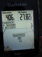
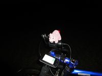
| Proof of Schweinchen being there.
|
|
