Location
Forest near Seitenbrück
Participants
- Jens, Räbe and surprisingly a Troll
Expedition
Because of my holydays at the moment I have time to visit hashpoints that I would have ignored on days with 8 hours of work. So yes, I was there.
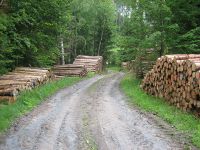
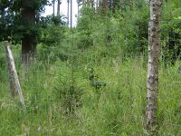
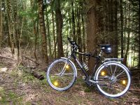
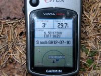
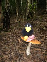
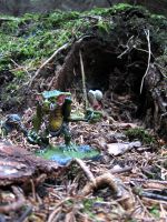
As long as I followed the roads, there is nothing special to tell about the way. To view it, click here. The interesting part began 500 meters before the point, strictly speaking that’s nothing special too. The dirt roads I followed became smaller and smaller when the point came near. Then, 100 meters before I had to leave the last path and enter the brush, the path was surrounded by fences on the left and on the right. I feared the worst. After my last attempt to get to a hashpoint was ruined by agriculture, today’s attempt would be ruined by forestry? No, it wasn’t. The god of hashpoints showed mercy and ended the fences just in time. So I was able to enter the brush and crawl through the trees. I took some photos of my bike, the gps device, Räbe and the Troll that came with me, and forgot the stupid grin photo. But there are enough of them, so no reason to sorrow. When I was back on the bike I was attacked by thousands of flying vampires (zoologists call them horse flies), so I hurried to leave the wood …
Photos
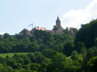
| The Leuchtenburg I passed by.
|
| The dirt road and some forestry.
|
| A fence between me and the wood.
|
| Räbe doing the usual nonsense.
|
| Our special guest liked the place.
|
|
