Location
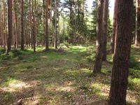
In a forest near Annawerk (Gräfinau-Angstedt) in one of the nicest parts of Thuringia.
Participants
Expedition
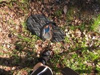
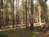
Already on Friday I noticed that this point would be no problem to put on my route from my parents back to my own home on Sunday, so I was resolved to visit it - but of course that meant I would have to go by bike... not easy, since it was raining all Sunday morning in southern Thuringia! So I sat at home drinking coffee for hours until finally around 4pm the weather seemed to clear up and my family let me go. After I got a wet butt on the first kilometers the weather got better and better, I reached the point in the bright sun, took photos of curious signs and the pack of slippers I found in the middle of this wood and then went on to explore a new route home. Very nice! Who would have thought of that?
Photos
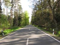
| On a long and lonesome highway, east of Omaha...
|
| Please put on some visitor slippers before entering the forest. It's been cleaned only yesterday.
|
| And now, get off of your bike. We know you rascal can't resist the urge to speed through here.
|
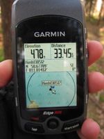
| Anyway: Hashpoint reached!
|
| The point: trees. And maybe a path indeed.
|
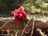
| Little Davey sitting at the point.
|
|
