2013-05-24 43 -77
From Geohashing
Revision as of 17:18, 11 April 2015 by imported>HicSuntLaganum (→Expedition)
| Fri 24 May 2013 in Rochester: 43.2111066, -77.9442957 geohashing.info google osm bing/os kml crox |
Location
Brockport College
Participants
Expedition
- Hic Sunt Laganum
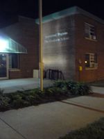
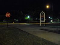
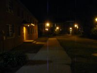
- This should have been an easy point, you know grab the GPS and go, but our complacence cost us our victory. The setup for failure was that we attempted a midnight hash and neither printed a bird's eye map as we normally do nor did we check the GPS's batteries or confirm spares. The GPS had been left on and run down to the point it had turned off. It booted up okay and ran for several minutes. We were already on the way and did not notice when it cut out until we were upon our location. The GPS would activate but only for a few seconds, not long enough to acquire satellite. So without our overhead picture, we used the few precious minutes we had before midnight to try to find a store to buy batteries but had no luck. We hurried to what looked like the right building and snapped several pictures after walking around the area. After getting home, we discovered we had been at the wrong building but had only been 50ft away from the point while driving around and thus we were saddened by our stunning loss.
Photos
Achievements
HicSuntLaganum earned the Blinded by Science Consolation Prize
|


