Location
On a meadow between Burkersdorf and Renthendorf, Thuringia.
Participants
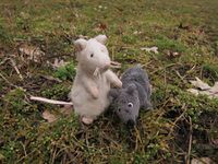
- Juja, Benjy and Frankie Mouse
Expedition
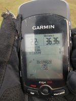
Not really too close to miss this time, but possible anyway - it is Sunday, I have enough time, I proved yesterday that 80kms of cycling are possible even in February and so I went to this Geohash. It was easier than I had expected - I miscalculated the distance to the point, arrived there earlier than I thought and could even ride my roadbike to the point - the forest road was a bit muddy, but not completely bad. With a mountain bike it would even have been possible to cycle directly to the Geohash as the meadow was not too muddy either, but I preferred to also get my shoes dirty and walked there, took the usual photos and cycled home on another route.
Photos
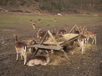
| Always the most important thing in Stadtroda: my dear deer.
|
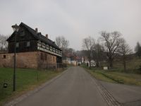
| Nice half-timber houses of Burkersdorf (focus on architecture instead of ascent!)
|
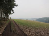
| (No) view over the hashmeadow, completely misty.
|
| Benjy and Frankie sitting on the Geohash point.
|
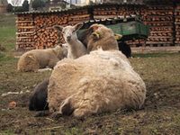
| More fluffy animals, this time in Ottendorf.
|
|
