Location
On the edge of a wood between Neusitz and Kuhfraß, Thuringia.
Participants
Expedition: Juja
Weekend, lots of time, nice weather and a Geohash in reasonable distance, and near a village named "Kuhfraß" (roughly translated: cows' slob?) - of course I went there, got me some itchy legs, and even explored some unknown roads on my way there and back, surprised that there still are some.
Photos: Juja
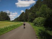
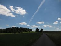
| Exploring unknown roads, pt. 1 (Wittersroda - Lengefeld, with ornamental yet unknown cyclist in the foreground)
|
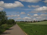
| The same road, with view to Lengefeld.
|
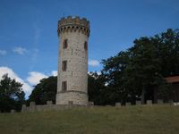
| Luisenturm (belvedere) near Kleinkochberg.
|
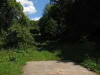
| Luckily, there is something like a path leading toward the Geohash.
|
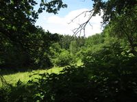
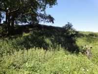
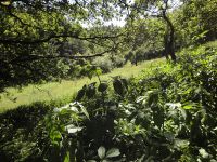
| View from the Geohash (note stinging nettles down right).
|
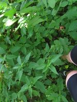
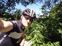
| Stinging nettles everywhere! (Hashdancing for the courageous)
|
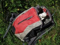
| Well-protected Geohashing mice venturing out of the backpack.
|
| Exploring unknown roads, pt. 2 (Kuhfraß - Partschefeld)
|
|
Expedition: Reinhard
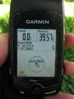
I've heard that Juja might have been interested in going to the hashpoint, but since she was in Jena (40 km Northeast of the point) and I've been in Erfurt (40 km to the Northwest) there was no use in planning a bicyclice trip together. After lunch there came up a temporal window of opportunity which I used for this ride. Luckily one could get to 30 m distance on the bike, but unluckily the rest was fighting through nettles. Well, some things just have to be done. I didn't find an obvious kind of hashmark and continued the trip through the beautifully named village of Kuhfraß and finished a wonderful, sunny Sunday ride back in Erfurt.
Photos: Reinhard
| Parking the bike 30 m from the point.
|
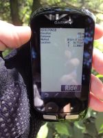
| Reaching coordinates as good as possible.
|
| Hashpoint view to the road.
|
|
