2008-07-10 44 -123
| Thu 10 Jul 2008 in Eugene: 44.3372663, -123.9466538 geohashing.info google osm bing/os kml crox |
Expeditions
Wade and Robyn were in Lincoln City on the way to Florence, OR so we decided to check out the local geohashing scene. Today's point was in the Siuslaw National Forest, which bode well for access. Google maps showed the hash to be about 100 feet from an unnamed road, a south turnoff from NFD Rd #5304, itself an east turnoff from NFD Rd #53.
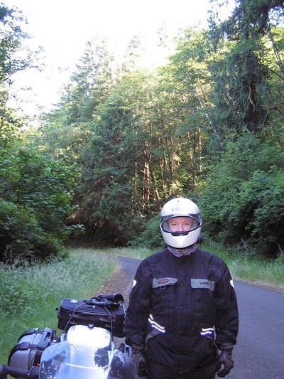
We found the park, and while we couldn't find any roads with National Forest Department or Native Forest District designations, we found a road that went in the right general direction, and despite extreme twistiness and increasing narrowness it drew closer and closer to the hashpoint. When the GPS showed 2.2 miles from the hashpoint, the road turned to gravel, and the owner/operator of the vehicle declared that the vehicle was not to be operated on gravel. The more enthusiastic hasher didn't want to push her luck in asking the driver to wait while she attempted to hike in to the hash, on what was probably the wrong road. Also the terrain contours on Google maps suggested that even if it was the right road, the final hundred feet was on a 45 degree slope.
Robyn also notices that a few days ago gravel wasn't an impassable barrier, so suspects that Wade is just not all that enthusiastic.
We took a photo and submit this expedition "unsuccessful."
