2024-11-19 -37 144
| Tue 19 Nov 2024 in -37,144: -37.8424810, 144.7314513 geohashing.info google osm bing/os kml crox |
Location
Alongside a little waterway in Truganina, in Melbourne's outer west.
Participants
Expedition
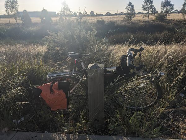
Amid a busy morning of work meetings and a sneaky session of Kerbal Space Program, I'd overlooked an important part of the daily routine: checking the geohash. At first glance, not appealing: far out west, in no one's favourite suburb, next to a fenced-off waterway called "Doherty's Drain" (according to Google Maps). But a bit of research painted a better picture: it actually looked like a small creek, the fence was just a line of bollards, and there were some pretty good bike paths to get there.
I set off around 4:30. Late enough to miss the midday heat. Early enough to avoid a faceful of sunset glare.
The early going is good: it's a great temperature, and the bike paths aren't too packed with commuters. I make my way down past the zoo, along Moonee Ponds Creek, into the confusing rabbit warren of the Stockyards Trail.
It's only as I'm nearing the Maribyrnong River that I realise I've auto-piloted to the wrong destination. This is not the way I normally get to Yarraville. But following the far bank of the Maribyrnong, it's clearly a much better road than the normal hideous path along Footscray Road. Why haven't I done this before?
The river is having a great day, and lots of people are out strolling, walking dogs, playing with kids, even fishing.
Getting through Yarraville and Footscray usually seems to involve unpleasant industrial estates and lots of trucks, but somehow I seem to find a good route through the cute parts of Yarraville with barely a truck to be seen.
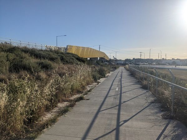
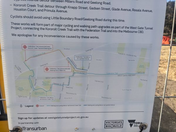
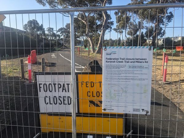
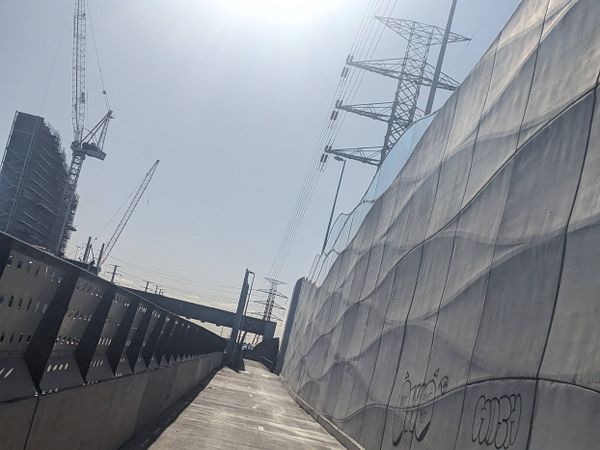
I pick up a newly built bit of bike path (part of the Westgate Tunnel project I assume) but when I try to connect onto the Federation Trail, there's a solid wall of temporary fencing and a no-nonsense sign. It's the start of a frustrating run as I keep trying to find ways onto the trail and failing. Apparently it's being "resurfaced" but from what I can see, the resurfacing is well and truly finished and there's no equipment in sight. Looks like more like some annoying bureaucracy where the trail is kept closed until some administrative milestone is hit, and all the pedestrians and cyclists lose out in the meantime.
The most irritating part was getting from Geelong Road onto the Kororoit Creek Trail, there's a big barrier across the trail that serves no purpose, as both sides of the barrier are actually open. Things like this cheese me off sometimes.
Once I get onto the open bit of trail, my mood lifts a bit. Nice easy riding, plenty of bunnies, and scenes of industrial mayhem left and right. Junkyards, chemical plants, container yards, so much to take in.
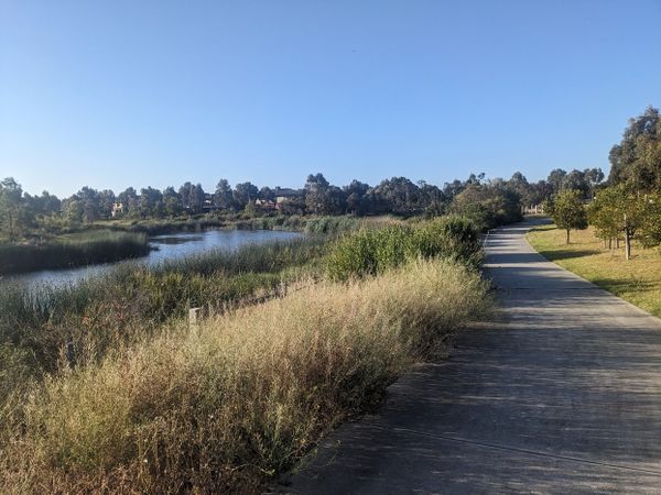
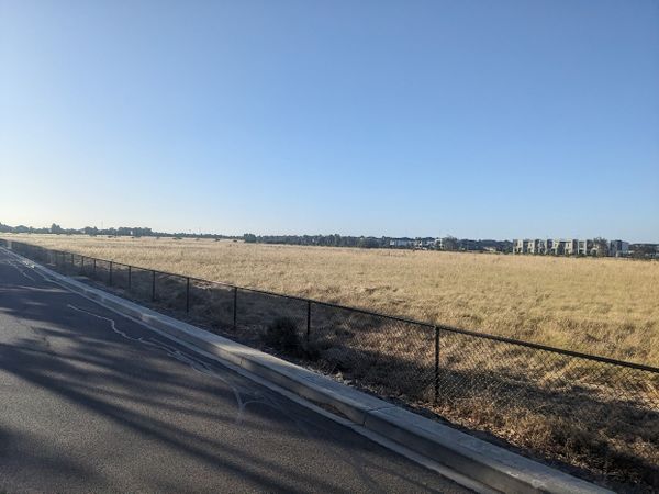
Eventually I reach Truganina, yet another of these carefully planned new suburban developments that all come out looking identical. Same kit homes, same artificial wetlands with walking paths around. Everyone seems pretty happy to be there. It's a different kind of Utopia, I guess.
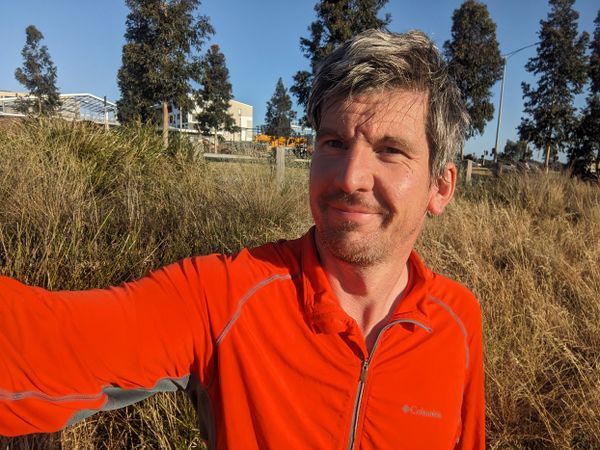
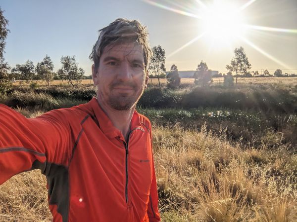
The point reveals itself without trouble. I had some concern that it might be in some marsh, or require a bush bash, but it's an easy couple of metres in tussocky grass.
My phone battery is very low and I'm worried about getting stranded on the way home, so instead of riding home, I head south to get a train from Williams Landing. It's a pretty miserable station, windswept and beside a busy freeway, with not a single wall to dampen the sound. There are some pretty tasty looking burgers discounted at the end of the day, but like a fool I've already stopped at a McDonalds on the way. Next time.
Photos
Achievements
Stevage earned the Bicycle geohash achievement
|
