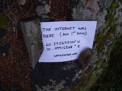
| Sun 1 Aug 2010 in 60,10: 60.2756420, 10.4991637 geohashing.info google osm bing/os kml crox |
Location
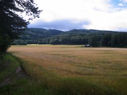
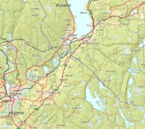
A pretty steep piece of forest near a road, near Østre Olimb, between Jevnaker and Lunner.
Today's battleship location is: E 3
Participants
Plans
W_ mentioned yesterday evening that they were going to visit my graticule, leaving me no choice but to cycle those 20km to meet them. :D -- relet
Expedition
W and eiggen
relet
Fortunately, I did actually wake up in the morning. Even before my alarm clock did. After throwing some rundstykker in the oven, both for breakfast and rations.
The cycle trip was a bit uneventful, since it was basically the same way I took to Grymyr. Except for the last third, which was uphills in the direction of Lunner. Crawling up the hills, I reached the surroundings of the geohash at 11:00 cum tempore. No trace of W or eiggen, so I parked my bike, and disappeared into the bushes. I briefly considered whether I should attach a sign to my bike:
THE INTERNET IS [ IN ].
  Consultations: 5¢
Unfortunately, I did not bring my tape, so I discarded the idea.
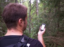
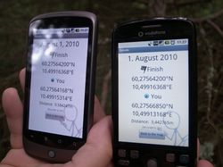
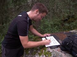
There was a very convenient trail leading right to a big rock. At the rock, my GPS told me that it was within 8m of the geohash. It showed me some other numbers too, always with an accuracy of d-2m, where d is the distance displayed. I figured, that would be a good place to wait for eventual visitors.
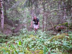
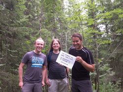
And lo and behold, soon enough I heard voices. They seemed to be discussing for a while, before they discovered my bicycle and the trail. As expected, it were W and eiggen on their training run from Lunner.
all together
Tracklog
Photos
|
