Location
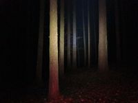
Almost on a way through the forest near Gerega. If the fog is as bad as in the last few days (and it will be dark, too, for sure) the dedicated Geohasher could go there blindfolded as well. Enjoy the invisible landscape!
Participants
Expedition
The April Hare and Juja cycled there in the evening (the smarter one of them was carried in a backpack). Temperatures were slightly above freezing point, Juja's toes went numb after half the way (because she was stupid enough to forget her warm overshoes). At least the April Hare arrived at the point in high spirits while Juja was not so very amused about the thick fog she had cycled through (even if it probably wasn't as massive as it felt, it slowed her down because it was impossible to see any further than 5 meters). The view in the hash forest was slightly better, so photos could be taken successfully, but the original plan - to explore if there was a connection between Gerega and Waldeck/Albersdorf - was quickly dismissed and the shortest route was chosen for the way home.
Photos
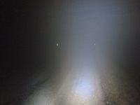
| Road to the hash. Not with snow, only thick fog and maybe some hoar frost.
|
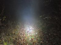
| The way to the point. Should be alright for my roadbike... right?
|
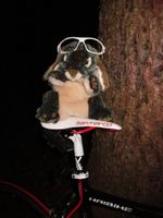
| April Hare arrived happily (even though those glasses were no use in the fog).
|
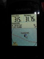
| The exciting hash. Trees, and more trees.
|
|
