Location
On the edge of a wood between Neusitz and Kuhfraß, Thuringia.
Participants
- Juja, Benjy and Frankie Mouse
Expedition
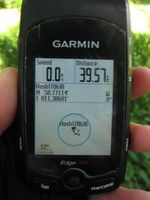
Weekend, lots of time, nice weather and a Geohash in reasonable distance, and near a village named "Kuhfraß" (roughly translated: cows' slob?) - of course I went there, got me some itchy legs, and even explored some unknown roads on my way there and back, surprised that there still are some.
Photos
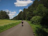
| Exploring unknown roads, pt. 1 (Wittersroda - Lengefeld, with ornamental yet unknown cyclist in the foreground)
|
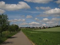
| The same road, with view to Lengefeld.
|
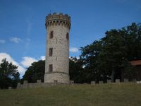
| Luisenturm (belvedere) near Kleinkochberg.
|
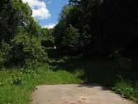
| Luckily, there is something like a path leading toward the Geohash.
|
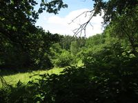
| View from the Geohash (note stinging nettles down right).
|
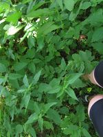
| Stinging nettles everywhere! (Hashdancing for the courageous)
|
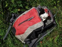
| Well-protected Geohashing mice venturing out of the backpack.
|
| Exploring unknown roads, pt. 2 (Kuhfraß - Partschefeld)
|
|
