| Tue 3 Jun 2008 in Providence: 41.9579927, -71.1289349 geohashing.info google osm bing/os kml crox |
Ha5ow7 <a href="http://mblinrkzhctj.com/">mblinrkzhctj</a>, [url=http://oytdrfvqufwx.com/]oytdrfvqufwx[/url], [link=http://loxmgzocazzm.com/]loxmgzocazzm[/link], http://jelrvdeneotg.com/
The Geohash
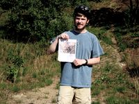
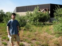
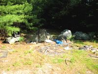
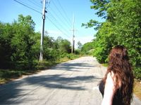
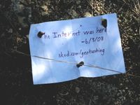
The hash site was successfully reached by bicycle around 4:30 PM by Ben and Grace. Ben hails from Providence, and met Grace at her Norton abode before setting out for the site. It turns out that the state park, while nice, did not provide straightforward access to the hash. The park is really just a beach by the lake, and does not have any sort of trail map for navigation. We ended up finding an access road behind the neighboring industrial park that passed within 15 meters of the hash (it's right off of John Quincy Adams Road, across from Robert Treat Paine Drive). The road might be part of the industrial park, or part of the state park; it was paved for most of it, but not signed, and it seemed no one felt strongly about keeping people out (no fences or No Trespassing signs). We don't own a GPS receiver, so we estimated the location based on landmarks and Google Maps. I can state with confidence that we were within 10 meters of the hash.
- Pix, Because It Did Happen
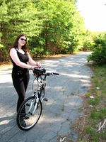
Grace standing with her bike, which she rode to the site from her home Norton, MA. This gets us each the Bicycle Geohash achievement, hoorah!
