2008-08-03 52 14
| Sun 3 Aug 2008 in 52,14: 52.1075008, 14.6815970 geohashing.info google osm bing/os kml crox |
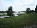
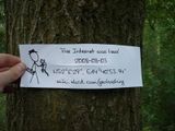
This hash was quite exceptional, as it lay almost directly on the Polish-German border. More specifically in a small wood next to the river Oder (or Odra, depending on which side you're looking from), right next to a cycling path along the Oder dams. relet took the train to Eisenhüttenstadt, and proceeded with his bike. He had a nice cycling trip along the river, flanked by the dams on the one side, and lush meadows and ancient trees on the other. It could have been such a beautiful trip.
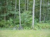
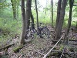
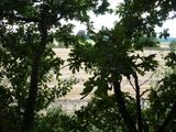
By the next corner though, when his GPS indicated that he had reached the correct latitude, the meadows were gone. Instead, a vicious forest loomed next to his path, and thorny thickets replaced the gentle grass. The woods bustled with activity, and relet could make out several flocks of raptors hunting down a pack of scared deer. Now, say one thing for relet, say he's a fighter bit too obsessed with whatever screen he is currently reading. Thus, he stumbled right into the brushwood, unconcerned by thorns and nettles, by mosquitoes and raptors. When he looked back up, he had a nasty bite from one of the raptor pups who couldn't get out of his way in time. But he stood in front of one of the most stunning sights yet another shrubbery. And a tree. Well, that's where the hash is located.
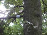
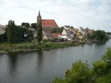
Resolved to make the best of it, he climbed the tree and spent some time swaying gently in the wind. Relet also hid a geocache up that tree, hoping that he won't be the only idiot adventurer to ever make this wonderful trip. Not expecting anyone else to show up, he left a lot of evidence of his presence and a few startled raptors. On his way back he spent some time around the town of Eisenhüttenstadt.
Tick stats
Four.


