2008-09-13 52 11
From Geohashing
Revision as of 14:07, 30 June 2009 by imported>ReletBot (Automatically appending gallery for one of relet's expeditions.)
| Sat 13 Sep 2008 in 52,11: 52.9503779, 11.9611570 geohashing.info google osm bing/os kml crox |
Participants
Plans
To work.. oh, you know.
Expedition
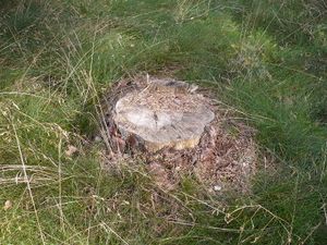
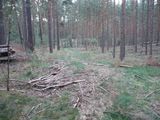
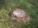
Arriving in Bad Wilsnack, it was just a short 10 minutes ride to the hash point. A little too short almost, as relet managed to overshoot its goal by a good distance. He backtraced to a small forest track leading him close to the hash, then went cross country to the hash. He decided that a tree stump would do as a landmark.
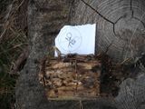
He took the usual photos, and, noticing that he still had a few hash marks left from his last multihash, left a hashmark on the tree. Satisfied, he went on a bike tour round the Prignitz region, again collecting some geocaches on the way. He managed to miss the other confluence cache though.


