2008-10-17 52 12
From Geohashing
Revision as of 00:23, 8 August 2019 by imported>FippeBot (Location)
| Fri 17 Oct 2008 in 52,12: 52.1594105, 12.7776510 geohashing.info google osm bing/os kml crox |
Participants
Expedition
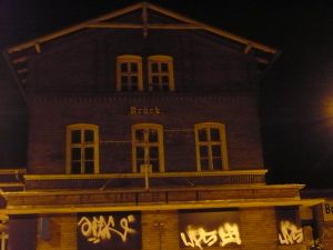
The hash lay near the autobahn exit Linthen, in what Google Sats showed to be a bit of forest. Relet went by train to Brück, and from there by bike. All of the access paths which were visible on the aerials had disappeared in the meantime, so relet just pushed his bike off the road where he was nearest to the hash and proceeded across the forest, in the dark. He reached the hash, took photos, and returned. The area nearby has been transformed into a driving exercise and security training range.
Photos
- leaving civilization behind.
- self portrait in the dark.
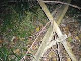
- some wooden construct at the hash.
- driving training center.
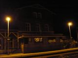
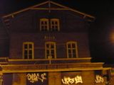
- Brück station.
- again.
- what do geohashers play to pass their time?
- trusty sturdy bike in the train.
- distance: 2m
- coordinates. The label says -18, I know. It's wrong.
- the whole trip, instead of a tracklog.
