2009-02-14 35 -77
| Sat 14 Feb 2009 in 35,-77: 35.8253397, -77.1710255 geohashing.info google osm bing/os kml crox |
Report
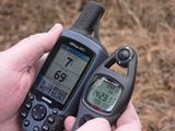
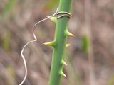
This hash was right off the highway, at about the halfway point in the trek to our Saturday meet up. However, the hash was located in amongst some ferocious briars (called "cat briars" in these parts), about 75 meters from the edge of the road. And the vines were big, and the thorns sharp, hard, and numerous. We waived to a friendly neighbor who had maneuvered his wheelchair to see us fighting our way out of the raptor trap maze. I deduced from his cap that he may have been a disable veteran. Wish now we would have taken the time to walk over and speak to him.
Participants
Eisen & Bear - NCBears
Geological Features
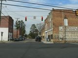
“Sandhills” region of North Carolina – flat farmland. Geohash was located across the road from a cotton processing plant, on the outskirts of the small town of Everetts.
Wildlife Encounters
Spotted Canada geese and swans in wetlands near Highway 64. Farm animals – Cows, horses, and mules.
Weather
Low 60.0°F/15.6°C, overcast, wind ~5mph/8kph


