2010-10-17 50 10
| Sun 17 Oct 2010 in 50,10: 50.6340020, 10.8707579 geohashing.info google osm bing/os kml crox |
Location
On a meadow behind the last houses of Stützerbach, almost on top of the Thuringian Forest.
Expedition (Juja)
Since one of the most important things about Geohashing seems to be that it has to be completely senseless, this hash qualified for that criteria very well. We passed it by some hundred meters when we drove home from the weekend visit at my parents' and I thought it would be worth going, but let's review our adventure a little more sensibly:
- We were late on our way back home and I was tired - it would have been clever to go home as fast as possible.
- It was cold and I had no gloves. And did I mention my camera doesn't work properly when it's cold? Oh yes, I did. In January, actually.
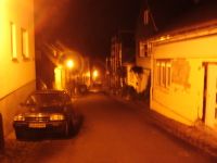
- Stützerbach has the average beauty of those forest villages (love it or leave it) and walking through those endless winding streets (actually, about 300m) is one of the most boring things a smart person could do with her evening.
- The point itself was on a completely dark meadow where you couldn't see anything, let alone anything interesting.
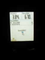
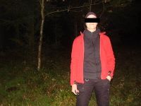
Anyway, we had a good time sneaking through those backyards (there was no fence and there seemed to be a trail, but maybe it was someone's garden still) and doing those ninja photos (dark person on dark background with a dark GPS whose background light turned off one second before the camera started to cooperate), and we probably wouldn't have got a parking space anyway...
Photos
|


