Location
Near a fieldway around Hainbücht, on a meadow.
Participants
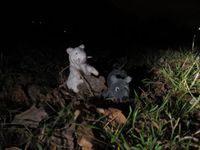
- Juja, Frankie and Benjy Mouse
Expedition
This expedition was not really planned, so please excuse me for not publishing my plans here. Reinhard said he had no time, and I also thought I had an appointment today (and 8 hrs work, and at least 1 hr training), but when the appointment fell through I suddenly had the time to visit today's hash in the late evening (too close to miss, too good weather not to go!).
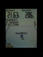
So I started about half past seven, after about an hour of swimming (Iron Man, I'm coming! ...not really), cycling to Stadtroda on the road. Not the best way, but eventually I arrived at the destination (Hainbücht) and easily found the hash point - a very good road (for MTB standards) led there this time, and the point was only 30m away from it. So I parked my bike, wandered into the dark meadow, took some photos, also tried some long-time-exposures, marked the place where my bike waited and then cycled back home, this time using the perfect cycleway from Stadtroda to Jena ("Thüringer Städtekette"). Got a little chilly on the way, but anyway I'm back in a warm place now...
Photos
| The lights of Jena Lobeda, where I started my way to the hash.
|
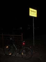
| Entering Hainbücht, today's destination.
|
| Frankie and Benjy sitting on the point, lighted by my bike lamp.
|
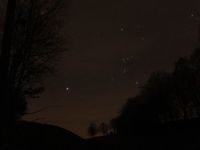
| Orion lit my way - view from the hash meadow...
|
| Marked the road next to the point.
|
|


