2012-07-13
From Geohashing
Revision as of 13:33, 12 July 2012 by imported>AperfectBot (Ook.)
Expedition Archives from July 2012
Thursday 12 July 2012 | Friday 13 July 2012 | Saturday 14 July 2012
See also: Category:Meetup on 2012-07-13
Coordinates
West of -30°: .5662695, .7369868
East of -30°: .2720063, .5272212
Globalhash:
-41.038871717682,9.799630429514
Photo Gallery
Expeditions and Plans
| 2012-07-13 | ||
|---|---|---|
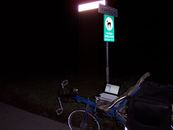
| Borrego Springs, California | LucasBrown | Just north of Ardwell Lane, an unpaved offshoot of an offshoot of State Rou... |
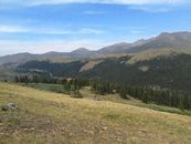
| Denver West, Colorado | Topbun | North of Grant in the Pike National Forest, about .6 miles from CR 62. |
| Newark, New Jersey | Jevanyn | Aside a street in Readington, just west of me in Somerset County. |
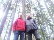
| Frankfurt am Main, Germany | QuarterCacher, Mampfred | In the woods right behind or in front of the Hessenpark. |
| Groningen, Netherlands | Shevek | In a field near Adorp |


