Location
On a field near Hammerstedt
Participants
- Juja, Benjy and Frankie Mouse
- Jens and Räbe
Expedition
The last hashpoint is only two days old while the next one is already waiting to be collected. The direction we had to go was nearly the same as two days before. But we were allowed to stop 5 km earlier, what saved us round about 1l of Water (per person), required by the human cooling system at temperatures of 35 °C.
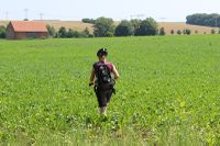
We started together with Jujas Ninja, but had to leave him after some meters because of technical issues. The way to Hammerstedt was as expected, Juja drove even more relaxed than on Thursday, so I was able to drive her speed to - most of the time - and even had some leading meters. So after nearly 10 drinking-stops we arrived at the field, filled with beets. Good for us, between this sort of vegetable we were able to find a way. A way like this: 5 steps ahead, 2 steps to the right, another 5 straight ahead, 2 right, …
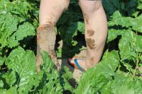
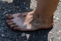
One thing still is to be mentioned. On a summer day with 35 °C a field has to be dusty. But not this one. There was mud hidden between the dust. I don’t know how this works but come to the beet fields of Hammerstedt and you will learn it. So our legs looked like on the best rainy autumn hash days.
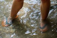
When back in Jena the lost Ninja joined us again and we finished today’s tour by cooling and cleaning our feed in the Leutra.
Photos
| Juja on the way to the point, 5 steps ahead, 2 steps right, ...
|
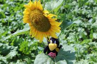
| Räbe on a local observation tower
|
| Today we are synchronized
|
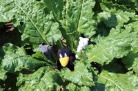
| Benjy, Frankie and Räbe on the point's beet
|
| Looks like Räbe is in posing mood
|
| You still can imagine the shoes
|
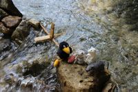
| The 3 hashcots met a new friend
|
|
